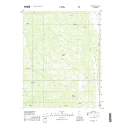
2018 Map of De Motte Park
USGS Topo · Published 2018About this map
Kaibab National Forest occupies this high-elevation landscape on the Kaibab Plateau in northern Arizona. The area is characterized by a series of open meadows and sinks, most notably De Motte Park and Pleasant Valley, which break the timbered reaches of the forest. Water management is central to the land's utility, evidenced by the numerous specialized basins such as North Blow Down Tank, West Blow Down Tank, and the V T Ridge Number Two Tank. These features, alongside named water bodies like Cougar Lake and Indian Lake, provide vital resources in the arid climate. The terrain is deeply incised by complex canyon systems, including Parissawampitts Canyon and Quaking Aspen Canyon, which define the drainage patterns moving away from the plateau's heights near V T Hill.
Find a feature on this map
38 named features on this map. Tap any name to fly to it.
Don’t see what you’re looking for? This feature index may not catch every label — zoom into the map to look around manually.
Map Details
Editions of this 2018 De Motte Park Map
This is the sole edition of this map. No revisions or reprints were ever made.
Other maps of this area

1886 · Kaibab
USGS Topo · 1:250,000

1936 · Jacobs Lake
USGS Topo · 1:48,000

1940 · Jacob Lake
USGS Topo · 1:62,500

1953 · Jacobs Lake
USGS Topo · 1:62,500

1953 · Grand Canyon
USGS Topo · 1:250,000

1957 · Grand Canyon
USGS Topo · 1:250,000

1958 · Grand Canyon
USGS Topo · 1:250,000

1958 · Big Springs
USGS Topo · 1:62,500

1960 · Grand Canyon
USGS Topo · 1:250,000

1962 · De Motte Park
USGS Topo · 1:62,500