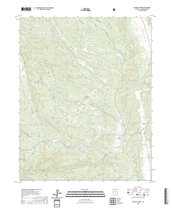
2023 Map of De Motte Park
USGS Topo · Published 2023About this map
Kaibab Plateau high country defines this 2023 survey of the northern Arizona forest, centered on the broad meadow of De Motte Park. The landscape is a network of deep drainages and limestone depressions, including Parissawampitts Canyon and Quaking Aspen Canyon. This modern data illustrates how water management is critical for the local ecology and ranching history, with numerous tanks and small catchments such as North Blow Down Tank and V T Ridge Number Two Tank scattered across the plateau.
Find a feature on this map
37 named features on this map. Tap any name to fly to it.
Don’t see what you’re looking for? This feature index may not catch every label — zoom into the map to look around manually.
Map Details
Editions of this 2023 De Motte Park Map
This is the sole edition of this map. No revisions or reprints were ever made.
Other maps of this area

1886 · Kaibab
USGS Topo · 1:250,000

1936 · Jacobs Lake
USGS Topo · 1:48,000

1940 · Jacob Lake
USGS Topo · 1:62,500

1953 · Jacobs Lake
USGS Topo · 1:62,500

1953 · Grand Canyon
USGS Topo · 1:250,000

1957 · Grand Canyon
USGS Topo · 1:250,000

1958 · Grand Canyon
USGS Topo · 1:250,000

1958 · Big Springs
USGS Topo · 1:62,500

1960 · Grand Canyon
USGS Topo · 1:250,000

1962 · De Motte Park
USGS Topo · 1:62,500