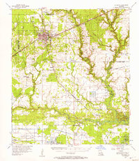
1956 Map of De Quincy
USGS Topo · Published 1957About this map
The railroad junction of De Quincy serves as a central hub in this mid-century survey, where the Kansas City Southern Ry and Missouri Pacific lines intersect. The surrounding landscape of Calcasieu Parish is defined by a dense network of waterways, including Beckwith Creek, the Houston River, and the West Fork Calcasieu River. Industry is well-established through the North De Quincy Oil Field and scattered extraction points, while the northern boundary at the Beauregard Parish line shows a transition into more sparsely settled timber or agricultural land.
Find a feature on this map
39 named features on this map. Tap any name to fly to it.
Don’t see what you’re looking for? This feature index may not catch every label — zoom into the map to look around manually.
Map Details
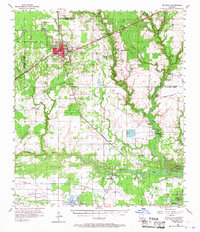
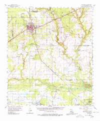
Editions of this 1956 De Quincy Map
3 editions found
Other maps of this area

1932 · Lake Charles NW
USGS Topo · 1:31,680

1932 · Orange
USGS Topo · 1:62,500

1935 · Buhler
USGS Topo · 1:31,680

1935 · Moss Bluff
USGS Topo · 1:31,680

1935 · Gordon
USGS Topo · 1:31,680

1935 · Gaytine
USGS Topo · 1:31,680

1935 · Longville
USGS Topo · 1:31,680

1942 · Lake Charles
USGS Topo · 1:62,500

1947 · Sulphur
USGS Topo · 1:31,680

1947 · Gaytine
USGS Topo · 1:31,680