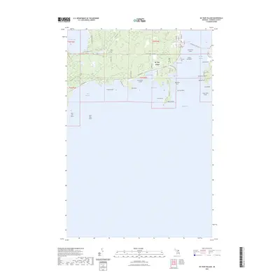
2023 Map of De Tour Village
USGS Topo · Published 2023About this map
De Tour Village serves as the gateway to the eastern Upper Peninsula's waterbound landscapes, situated along the vital De Tour Passage. This maritime corridor is marked by a complex system of shoals and reefs, including the DeTour Reef and Crab Island Shoal, which have long dictated the navigation patterns of vessels traveling toward Lake Huron. Inland, the geography is defined by a series of lakes and wetlands, notably Caribou Lake and Bear Lake, which are connected by a network of local roads like E South Caribou Lake Rd.
Find a feature on this map
55 named features on this map. Tap any name to fly to it.
Don’t see what you’re looking for? This feature index may not catch every label — zoom into the map to look around manually.
Map Details
Editions of this 2023 De Tour Village Map
This is the sole edition of this map. No revisions or reprints were ever made.
Other maps of this area

1954 · Alpena
USGS Topo · 1:250,000

1954 · Sault Sainte Marie
USGS Topo · 1:250,000

1955 · Cheboygan
USGS Topo · 1:250,000

1956 · Sault Sainte Marie
USGS Topo · 1:250,000

1957 · Alpena
USGS Topo · 1:250,000

1957 · Sault Sainte Marie
USGS Topo · 1:250,000

1958 · Cheboygan
USGS Topo · 1:250,000

1958 · Alpena
USGS Topo · 1:250,000

1958 · Sault Sainte Marie
USGS Topo · 1:250,000

1961 · Blind River
USGS Topo · 1:250,000
Featured Places
- De Tour Village, DeTour Village
- Detour Township, MI
- DeTour Village, MI
- Drummond Township, MI
- Chippewa County, MI