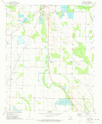
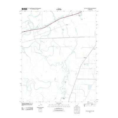
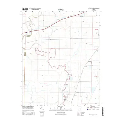
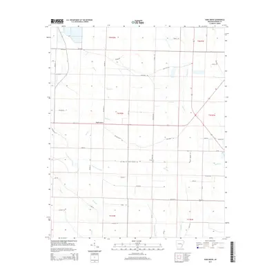
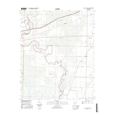
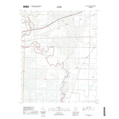
1968 Map of De Valls Bluff SE
USGS Topo · Published 1970About this map
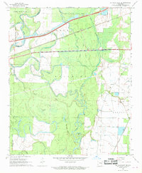
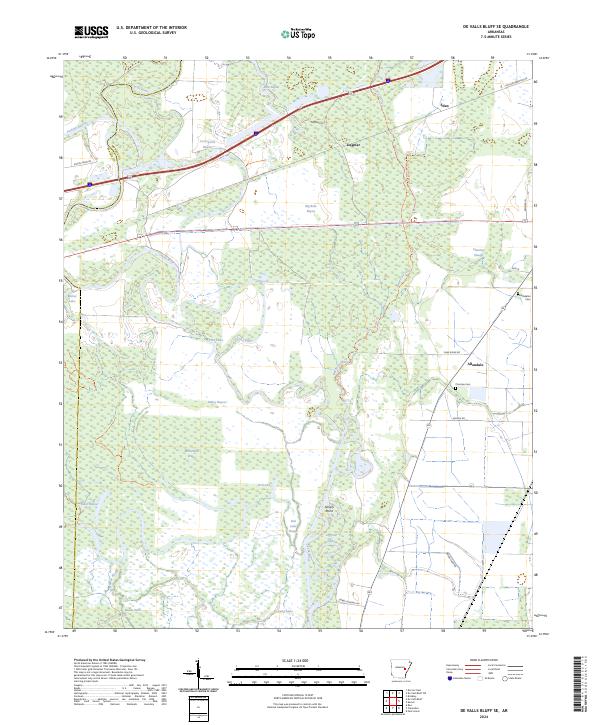
The Cache River dominates this mid-century landscape, carving a complex network of wetlands and oxbow lakes including Horseshoe Lake, Goose Lake, and McFarland Brake. The terrain is punctuated by the curious elevations of Upper Surrounded Hill and Lower Surrounded Hill, which rise above the river's floodplains. Transportation and industry are centered on the parallel lines of the Chicago Rock Island and Pacific and St Louis Southwestern railroads, which facilitated the movement of goods through small settlements like Dagmar and Eden. In the eastern section, a system of wells and flumes suggests an agricultural landscape reliant on managed water, while the Dagmar State Game Area preserves the bottomland hardwood character of the region. Local heritage is preserved at sites like Philadelphia Cem and Choctaw Cem, serving as markers for the scattered communities of Allendale and Dobbs Landing.
Find a feature on this map
42 named features on this map. Tap any name to fly to it.
Don’t see what you’re looking for? This feature index may not catch every label — zoom into the map to look around manually.
Map Details
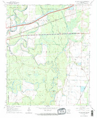
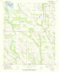
Editions of this 1968 De Valls Bluff SE Map
2 editions found
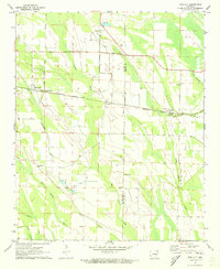
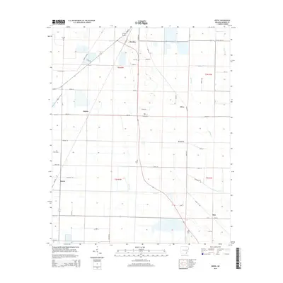
Historical Maps of Eden Through Time
36 maps found
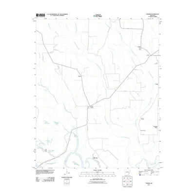
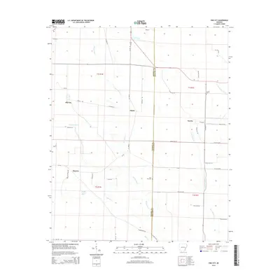
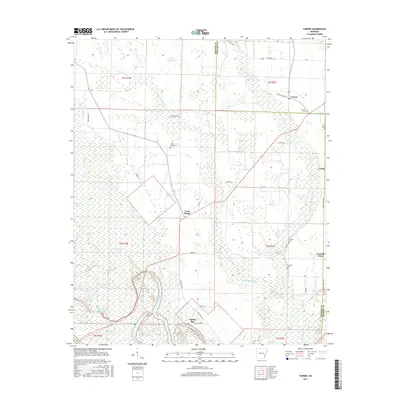
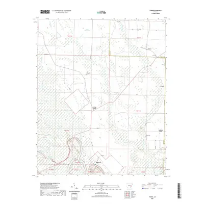
1967 Turner
Monroe County, AR
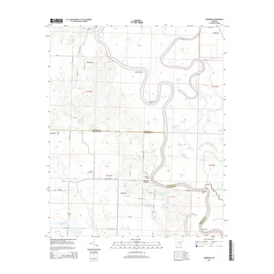
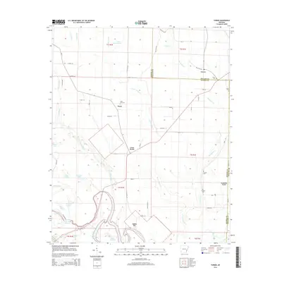
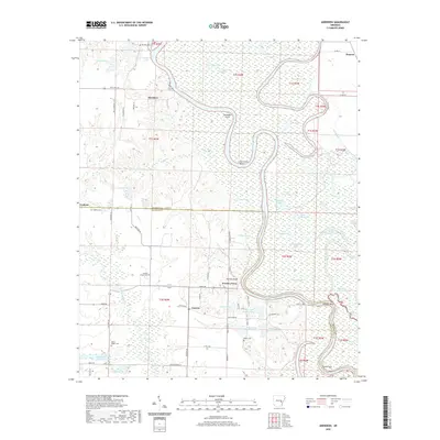
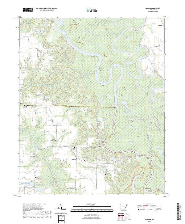
1968 Aberdeen
Monroe County, AR
1968 De Valls Bluff SE
Monroe County, AR
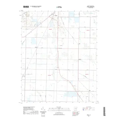
1971 Keevil
Monroe County, AR
1971 Park Grove
Monroe County, AR
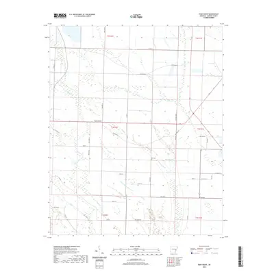
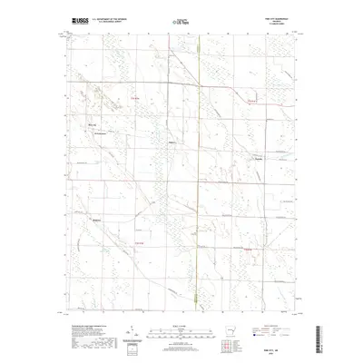
1971 Pine City
Monroe County, AR
2011 Aberdeen
Monroe County, AR
2011 De Valls Bluff SE
Monroe County, AR
2011 Keevil
Monroe County, AR
2011 Park Grove
Monroe County, AR
2011 Pine City
Monroe County, AR
2011 Turner
Monroe County, AR
2014 Aberdeen
Monroe County, AR
2014 De Valls Bluff SE
Monroe County, AR
2014 Keevil
Monroe County, AR
2014 Park Grove
Monroe County, AR
2014 Pine City
Monroe County, AR
2014 Turner
Monroe County, AR
2017 Aberdeen
Monroe County, AR
2017 De Valls Bluff SE
Monroe County, AR
2017 Keevil
Monroe County, AR
2017 Park Grove
Monroe County, AR
2017 Pine City
Monroe County, AR
2017 Turner
Monroe County, AR
2020 Aberdeen
Monroe County, AR
2020 De Valls Bluff SE
Monroe County, AR
2020 Keevil
Monroe County, AR
2020 Park Grove
Monroe County, AR
2020 Pine City
Monroe County, AR
2020 Turner
Monroe County, AR
2024 Aberdeen
Monroe County, AR
2024 De Valls Bluff SE
Monroe County, AR
2024 Keevil
Monroe County, AR
2024 Park Grove
Monroe County, AR
2024 Pine City
Monroe County, AR
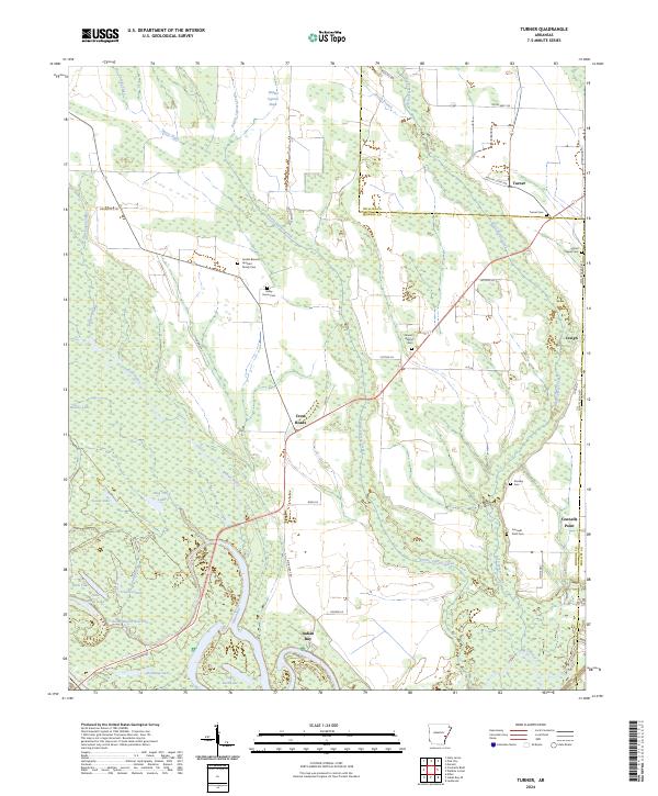
2024 Turner
Monroe County, AR