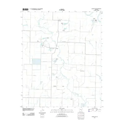
2011 Map of De Witt NE
USGS Topo · Published 2011About this map
La Grue Bayou meanders across this landscape of Arkansas County, defining a region where water management and agriculture are inextricably linked. The map reveals a network of engineered water bodies, including Abernathy Reservoir, J Gunnell Lake, and Shook Reservoir, each secured by its respective dam. These features, alongside the White River on the eastern boundary, highlight the area's reliance on controlled waterways for the surrounding fields.
Find a feature on this map
74 named features on this map. Tap any name to fly to it.
Don’t see what you’re looking for? This feature index may not catch every label — zoom into the map to look around manually.
Map Details
Editions of this 2011 De Witt NE Map
This is the sole edition of this map. No revisions or reprints were ever made.
Other maps of this area

1935 · Clarendon
USGS Topo · 1:62,500

1939 · Indian Bay
USGS Topo · 1:62,500

1940 · Holly Grove
USGS Topo · 1:62,500

1941 · De Witt
USGS Topo · 1:62,500

1941 · Clarendon
USGS Topo · 1:62,500

1948 · Helena
USGS Topo · 1:250,000

1950 · Helena
USGS Topo · 1:250,000

1954 · Indian Bay
USGS Topo · 1:62,500

1954 · De Witt
USGS Topo · 1:62,500

1955 · Helena
USGS Topo · 1:250,000