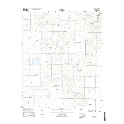
2017 Map of De Witt NE
USGS Topo · Published 2017About this map
La Grue Bayou meanders through the heart of this Arkansas landscape, defining the local drainage and topography in a region marked by extensive water management and small rural communities. The settlement of Immanuel serves as a central point in this agricultural territory, surrounded by a network of family and community landmarks. The map is particularly notable for its density of small burial grounds, including Garrison Cem, Ferguson Cem, and Saint Olive Cem, which offer significant value for genealogical research and local history documentation.
Find a feature on this map
70 named features on this map. Tap any name to fly to it.
Don’t see what you’re looking for? This feature index may not catch every label — zoom into the map to look around manually.
Map Details
Editions of this 2017 De Witt NE Map
This is the sole edition of this map. No revisions or reprints were ever made.
Other maps of this area

1935 · Clarendon
USGS Topo · 1:62,500

1939 · Indian Bay
USGS Topo · 1:62,500

1940 · Holly Grove
USGS Topo · 1:62,500

1941 · De Witt
USGS Topo · 1:62,500

1941 · Clarendon
USGS Topo · 1:62,500

1948 · Helena
USGS Topo · 1:250,000

1950 · Helena
USGS Topo · 1:250,000

1954 · Indian Bay
USGS Topo · 1:62,500

1954 · De Witt
USGS Topo · 1:62,500

1955 · Helena
USGS Topo · 1:250,000