2024 Map of De Witt NE
USGS Topo · Published 2024About this map
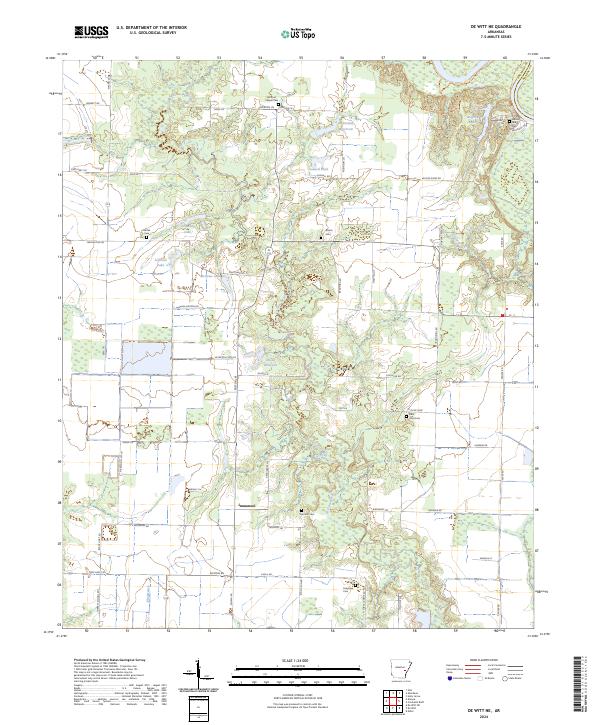
Immanuel sits near the center of this rural Arkansas landscape, a settlement defined by its proximity to the wandering path of La Grue Bayou. The eastern edge of the quadrangle is dominated by the Dale Bumpers White River National Wildlife Refuge, where the river bottomland meets a network of smaller water bodies like Wofford Lake. This area is particularly rich for family history research, as it contains numerous small burial sites including Bethel Cem, Shiloh Cem, and the Wilcox Family Cem. The land is fragmented by reservoirs and lakes such as Shook Reservoir, Abernathy Reservoir, and J Gunnell Lake, indicating a landscape managed for water control and agriculture. Numerous local roads like State Hwy 153 and Boonehill Rd connect the scattered farms and cemeteries that have anchored this community for generations.
Find a feature on this map
71 named features on this map. Tap any name to fly to it.
Don’t see what you’re looking for? This feature index may not catch every label — zoom into the map to look around manually.
Map Details
Editions of this 2024 De Witt NE Map
This is the sole edition of this map. No revisions or reprints were ever made.
Other maps of this area

1935 · Clarendon
USGS Topo · 1:62,500

1939 · Indian Bay
USGS Topo · 1:62,500

1940 · Holly Grove
USGS Topo · 1:62,500

1941 · De Witt
USGS Topo · 1:62,500

1941 · Clarendon
USGS Topo · 1:62,500

1948 · Helena
USGS Topo · 1:250,000

1950 · Helena
USGS Topo · 1:250,000

1954 · Indian Bay
USGS Topo · 1:62,500

1954 · De Witt
USGS Topo · 1:62,500

1955 · Helena
USGS Topo · 1:250,000