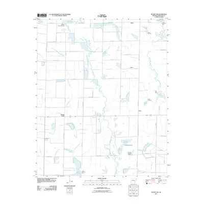
2011 Map of De Witt SW
USGS Topo · Published 2011About this map
Mill Bayou and Hurricane Bayou meander through this Arkansas County landscape, which is defined by an intricate network of irrigation infrastructure. Small crossroads communities including Eldridge Corner, Olena, and Burks punctuate a terrain dominated by large-scale water management features. The area is heavily marked by numerous private and named reservoirs such as Fullers Reservoir and Sollars Reservoir, alongside an organized system of ditches including Ditch Number 1 and Ditch Number 2. These features, combined with named laterals like Lateral Number 9, illustrate the intensive agricultural modification of the Grand Prairie region. To the northeast, Kittlers and the Hillman Reservoir complex represent the northern bounds of this rural survey, while the presence of Hall Lake and Girerd Pond suggests the varied uses of the local hydrology for both industry and recreation.
Find a feature on this map
55 named features on this map. Tap any name to fly to it.
Don’t see what you’re looking for? This feature index may not catch every label — zoom into the map to look around manually.
Map Details
Editions of this 2011 De Witt SW Map
This is the sole edition of this map. No revisions or reprints were ever made.
Other maps of this area

1935 · Varner
USGS Topo · 1:62,500

1935 · Gillett
USGS Topo · 1:62,500

1941 · De Witt
USGS Topo · 1:62,500

1941 · Goldman
USGS Topo · 1:62,500

1948 · Helena
USGS Topo · 1:250,000

1950 · Helena
USGS Topo · 1:250,000

1954 · De Witt
USGS Topo · 1:62,500

1955 · Helena
USGS Topo · 1:250,000

1959 · Helena
USGS Topo · 1:250,000

1960 · Helena
USGS Topo · 1:250,000