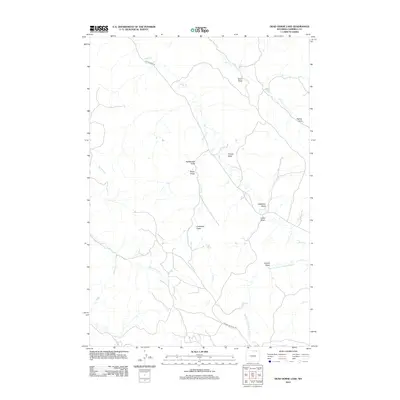
2012 Map of Dead Horse Lake
USGS Topo · Published 2012About this map
Bitter Cr and its complex network of seasonal tributaries define this stretch of the Wyoming high plains in Campbell County. The drainage patterns, including Quarter Circle Prong Bitter Cr and Coal Cr, reveal a landscape shaped by intermittent water flow and the industrial requirements of the Powder River Basin. The presence of Apache Gas Plant Rd indicates the area's modern energy footprint, while several named landmarks like Anderson Draw, Cresswell Draw, and Swartz Draw preserve the local nomenclature of early ranching families and homesteaders. This 2012 survey illustrates how infrastructure such as Bitter Creek Rd navigates the dissected terrain of Rattlesnake Draw and Timber Draw, connecting isolated parcels across the basin.
Find a feature on this map
19 named features on this map. Tap any name to fly to it.
Don’t see what you’re looking for? This feature index may not catch every label — zoom into the map to look around manually.
Map Details
Editions of this 2012 Dead Horse Lake Map
This is the sole edition of this map. No revisions or reprints were ever made.
Other maps of this area

1954 · Ekalaka
USGS Topo · 1:250,000

1954 · Gillette
USGS Topo · 1:250,000

1955 · Gillette
USGS Topo · 1:250,000

1956 · Ekalaka
USGS Topo · 1:250,000

1958 · Gillette
USGS Topo · 1:250,000

1958 · Ekalaka
USGS Topo · 1:250,000

1962 · Gillette
USGS Topo · 1:250,000

1965 · Ekalaka
USGS Topo · 1:250,000

1970 · Moorhead
USGS Topo · 1:24,000
1970 · Bradshaw Creek
USGS Topo · 1:24,000