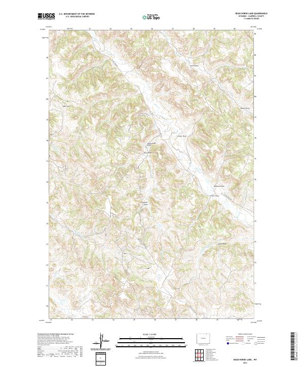
2021 Map of Dead Horse Lake
USGS Topo · Published 2021About this map
Bitter Cr and its complex network of seasonal drainages carve through this high plains landscape in northern Campbell County. The terrain is defined by a dense system of draws and gulches, including the distinctive Rattlesnake Draw, Cresswell Draw, and Bear Gulch, which illustrate the natural erosion patterns of the Powder River Basin. These features, along with names like Swartz Draw and Palmer Draw, often reflect the early ranching families who claimed these wide-open spaces for grazing.
Find a feature on this map
26 named features on this map. Tap any name to fly to it.
Don’t see what you’re looking for? This feature index may not catch every label — zoom into the map to look around manually.
Map Details
Editions of this 2021 Dead Horse Lake Map
This is the sole edition of this map. No revisions or reprints were ever made.
Other maps of this area

1954 · Ekalaka
USGS Topo · 1:250,000

1954 · Gillette
USGS Topo · 1:250,000

1955 · Gillette
USGS Topo · 1:250,000

1956 · Ekalaka
USGS Topo · 1:250,000

1958 · Gillette
USGS Topo · 1:250,000

1958 · Ekalaka
USGS Topo · 1:250,000

1962 · Gillette
USGS Topo · 1:250,000

1965 · Ekalaka
USGS Topo · 1:250,000

1970 · Moorhead
USGS Topo · 1:24,000
1970 · Bradshaw Creek
USGS Topo · 1:24,000