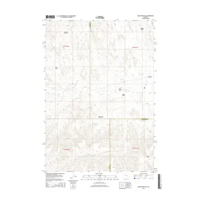
2015 Map of Dead Indian Hill
USGS Topo · Published 2015About this map
Dead Indian Hill stands as a prominent landmark in this high-desert landscape where Park, Big Horn, and Washakie Counties meet. The map reveals a region defined by historical livestock management and water conservation, evidenced by locations like Horseshoe Bedground and Wagon Hound Bedground. These sites, along with isolated homesteads such as Hewitt Place and Sales Place, suggest a legacy of ranching and remote settlement in the Big Horn Basin.
Find a feature on this map
21 named features on this map. Tap any name to fly to it.
Don’t see what you’re looking for? This feature index may not catch every label — zoom into the map to look around manually.
Map Details
Editions of this 2015 Dead Indian Hill Map
This is the sole edition of this map. No revisions or reprints were ever made.
Other maps of this area

1951 · Hillberry Rim
USGS Topo · 1:24,000

1951 · Dutch Nick Flat SW
USGS Topo · 1:24,000

1951 · Gillies Draw
USGS Topo · 1:24,000

1951 · Sheep Mountain
USGS Topo · 1:24,000

1951 · Tatman Mountain
USGS Topo · 1:24,000

1951 · Sheets Flat
USGS Topo · 1:24,000

1951 · Wilson Spring
USGS Topo · 1:24,000

1951 · Dead Indian Hill
USGS Topo · 1:24,000

1951 · Dutch Nick Flat NW
USGS Topo · 1:24,000

1955 · Cody
USGS Topo · 1:250,000