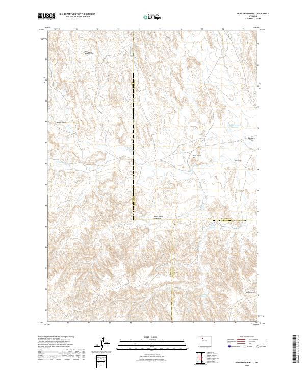
2021 Map of Dead Indian Hill
USGS Topo · Published 2021About this map
The arid Wyoming landscape of northwestern Wyoming is defined here by its intersection of county lines and water management features. Dead Indian Hill rises above a terrain marked by seasonal drainages and livestock-related sites, including the Horseshoe Bedground and Wagon Hound Bedground. These locations, along with the numerous reservoirs like Hunt Reservoir and Asay Reservoir, point to the area's long-standing history of high-desert ranching and water conservation.
Find a feature on this map
19 named features on this map. Tap any name to fly to it.
Don’t see what you’re looking for? This feature index may not catch every label — zoom into the map to look around manually.
Map Details
Editions of this 2021 Dead Indian Hill Map
This is the sole edition of this map. No revisions or reprints were ever made.
Other maps of this area

1951 · Hillberry Rim
USGS Topo · 1:24,000

1951 · Dutch Nick Flat SW
USGS Topo · 1:24,000

1951 · Gillies Draw
USGS Topo · 1:24,000

1951 · Sheep Mountain
USGS Topo · 1:24,000

1951 · Tatman Mountain
USGS Topo · 1:24,000

1951 · Sheets Flat
USGS Topo · 1:24,000

1951 · Wilson Spring
USGS Topo · 1:24,000

1951 · Dead Indian Hill
USGS Topo · 1:24,000

1951 · Dutch Nick Flat NW
USGS Topo · 1:24,000

1955 · Cody
USGS Topo · 1:250,000