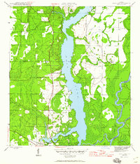
1945 Map of Dead Lake
USGS Topo · Published 1960About this map
Dead Lake and its intricate network of river systems dominate this mid-century Florida landscape, where the confluence of the Apalachicola River and the Chipola Cutoff creates a complex watery boundary between Gulf, Liberty, and Calhoun counties. The settlement at Chipola Park and the site of Iola represent the sparse human footprint in an area largely defined by low-lying wetlands like Tenmile Swamp.
Find a feature on this map
20 named features on this map. Tap any name to fly to it.
Don’t see what you’re looking for? This feature index may not catch every label — zoom into the map to look around manually.
Map Details
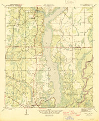
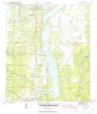
Editions of this 1945 Dead Lake Map
4 editions found
Other maps of this area

1945 · Dead Lake
USGS Topo · 1:31,680

1945 · Kennedy Creek
USGS Topo · 1:31,680

1945 · Broad Branch
USGS Topo · 1:31,680

1945 · Estiffanulga
USGS Topo · 1:31,680

1945 · Orange
USGS Topo · 1:31,680

1945 · Frink
USGS Topo · 1:31,680

1945 · Wewahitchka
USGS Topo · 1:31,680

1945 · Wetappo Creek
USGS Topo · 1:31,680

1945 · Tenmile Swamp
USGS Topo · 1:31,680

1954 · Tallahassee
USGS Topo · 1:250,000