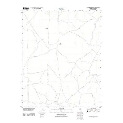
2011 Map of Dead Monkey Ridge
USGS Topo · Published 2011About this map
Cooper Mine Trading Post stands as a focal point in the southern portion of this landscape, situated near the intersection of several tribal transit corridors. The area is defined by massive topographic features including the expansive Red Mesa in the northwest and the namesake Dead Monkey Ridge at the center of the quadrangle. A network of roads, including Indian Rte 20 and Indian Rte 201, provides access through this Coconino County terrain, tracing the paths between significant landforms like Circular White Ridge. The distribution of Forest Service RD routes across the north and east suggests a landscape managed for conservation and land use, where the high desert plateaus meet structured forestry access points.
Find a feature on this map
8 named features on this map. Tap any name to fly to it.
Don’t see what you’re looking for? This feature index may not catch every label — zoom into the map to look around manually.
Map Details
Editions of this 2011 Dead Monkey Ridge Map
This is the sole edition of this map. No revisions or reprints were ever made.
Other maps of this area

1886 · Echo Cliffs
USGS Topo · 1:250,000

1891 · Echo Cliffs
USGS Topo · 1:250,000

1954 · Lees Ferry SE
USGS Topo · 1:24,000

1954 · Tanner Wash
USGS Topo · 1:62,500

1954 · Leche-E Rock
USGS Topo · 1:62,500

1954 · Lees Ferry
USGS Topo · 1:62,500

1955 · Tanner Wash NE
USGS Topo · 1:24,000

1956 · Marble Canyon
USGS Topo · 1:250,000

1959 · Marble Canyon
USGS Topo · 1:250,000

1961 · Marble Canyon
USGS Topo · 1:250,000