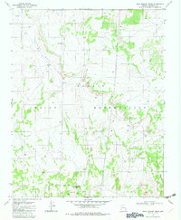
1982 Map of Dead Monkey Ridge
USGS Topo · Published 1983About this map
Navajo Indian Reservation lands in Coconino County define this arid landscape, marked by significant mineral exploration and remote outposts in the early 1980s. The southern portion of the map is particularly active with industrial and historical features, centered around the Copper Mine Trading Post and the nearby Copper Mine. The presence of a Mine Dump and a Prospect further east indicates a period of sustained geological investigation in this part of Arizona.
Find a feature on this map
12 named features on this map. Tap any name to fly to it.
Don’t see what you’re looking for? This feature index may not catch every label — zoom into the map to look around manually.
Map Details
Editions of this 1982 Dead Monkey Ridge Map
This is the sole edition of this map. No revisions or reprints were ever made.
Other maps of this area

1886 · Echo Cliffs
USGS Topo · 1:250,000

1891 · Echo Cliffs
USGS Topo · 1:250,000

1954 · Lees Ferry SE
USGS Topo · 1:24,000

1954 · Tanner Wash
USGS Topo · 1:62,500

1954 · Leche-E Rock
USGS Topo · 1:62,500

1954 · Lees Ferry
USGS Topo · 1:62,500

1955 · Tanner Wash NE
USGS Topo · 1:24,000

1956 · Marble Canyon
USGS Topo · 1:250,000

1959 · Marble Canyon
USGS Topo · 1:250,000

1961 · Marble Canyon
USGS Topo · 1:250,000