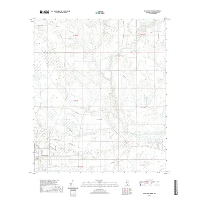
2020 Map of Dead Tiger Creek
USGS Topo · Published 2020About this map
Sam Farve Bay and the interconnected wetlands of the lower Pearl River basin define this coastal Mississippi landscape. The 2020 survey reveals a complex network of bayous and creeks, such as Bayou Bacon and Catahoula Creek, that drain into a series of shallow basins including Double Bay and Long Bay. Historically, this area was marked by the presence of the NASA Stennis Space Center's buffer zone, as evidenced by infrastructure like Shuttle Pkwy, Saturn Dr, and the Bombing Range Rd.
Find a feature on this map
55 named features on this map. Tap any name to fly to it.
Don’t see what you’re looking for? This feature index may not catch every label — zoom into the map to look around manually.
Map Details
Editions of this 2020 Dead Tiger Creek Map
This is the sole edition of this map. No revisions or reprints were ever made.
Other maps of this area

1914 · Nicholson
USGS Topo · 1:62,500

1921 · Nicholson
USGS Topo · 1:62,500

1941 · Honey Island
USGS Topo · 1:31,680

1950 · Haaswood
USGS Topo · 1:31,680

1953 · Mobile
USGS Topo · 1:250,000

1954 · Haaswood
USGS Topo · 1:31,680

1955 · Savannah
USGS Topo · 1:62,500

1955 · Nicholson
USGS Topo · 1:24,000

1956 · Waveland
USGS Topo · 1:24,000

1957 · Mobile
USGS Topo · 1:250,000