
1956 Map of Waveland
USGS Topo · Published 1960About this map
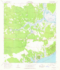
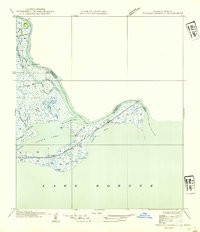
The Jourdan River dominates this coastal landscape, winding through a complex network of marshes and bayous including la Croix Bayou and Enceinte Bayou before meeting the Mississippi Sound. Along the shoreline, the 1950s development of Waveland and Clermont Harbor is clearly visible, showing a mix of established residential grids and coastal infrastructure such as a Pier and various Piling clusters. The interior reveals a more dispersed pattern of settlement, anchored by community landmarks like St Johns Ch, Holy Cross Ch, and the Gulf View Sch.
Find a feature on this map
43 named features on this map. Tap any name to fly to it.
Don’t see what you’re looking for? This feature index may not catch every label — zoom into the map to look around manually.
Map Details
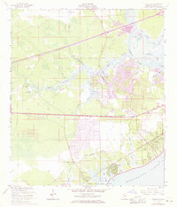
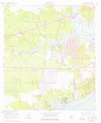
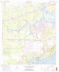
Editions of this 1956 Waveland Map
5 editions found
Other maps of this area

1893 · Rigolets
USGS Topo · 1:62,500

1893 · Toulme
USGS Topo · 1:62,500

1914 · Nicholson
USGS Topo · 1:62,500

1921 · Nicholson
USGS Topo · 1:62,500

1935 · English Lookout
USGS Topo · 1:31,680

1935 · Grand Island Pass
USGS Topo · 1:31,680

1936 · Rigolets
USGS Topo · 1:62,500

1949 · Grand Island Pass
USGS Topo · 1:31,680

1953 · Mobile
USGS Topo · 1:250,000
1954 · English Lookout
USGS Topo · 1:31,680