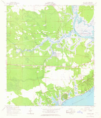
1956 Map of Waveland
USGS Topo · Published 1968About this map
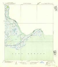
The coastal marshlands of Hancock County meet the Mississippi Sound in this mid-century survey, revealing a landscape defined by tidewater inlets and early shoreline development. The Louisville and Nashville Railroad serves as a critical corridor through the region, connecting the communities of Waveland, Clermont Harbor, and Lakeshore. This transportation spine parallels the coast, separating the residential grid of Waveland from the extensive wetlands of the Jackson Marsh and the winding reaches of the Jourdan River.
Find a feature on this map
35 named features on this map. Tap any name to fly to it.
Don’t see what you’re looking for? This feature index may not catch every label — zoom into the map to look around manually.
Map Details
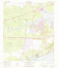
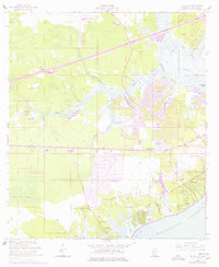
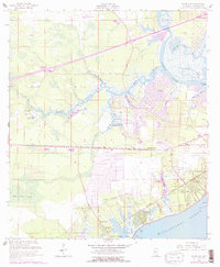
Editions of this 1956 Waveland Map
5 editions found

Other maps of this area

1893 · Rigolets
USGS Topo · 1:62,500

1893 · Toulme
USGS Topo · 1:62,500

1914 · Nicholson
USGS Topo · 1:62,500

1921 · Nicholson
USGS Topo · 1:62,500

1935 · English Lookout
USGS Topo · 1:31,680

1935 · Grand Island Pass
USGS Topo · 1:31,680

1936 · Rigolets
USGS Topo · 1:62,500

1949 · Grand Island Pass
USGS Topo · 1:31,680

1953 · Mobile
USGS Topo · 1:250,000
1954 · English Lookout
USGS Topo · 1:31,680