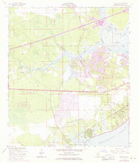
1956 Map of Waveland
USGS Topo · Published 1971About this map
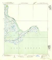
Waveland and the surrounding Mississippi coastal communities of Clermont Harbor and Lakeshore are depicted here during a period of transition, with 1970 photorevisions highlighting new residential developments alongside the traditional bayou landscape. The Louisville and Nashville railroad corridor serves as the primary spine for these settlements, separating the marshy lowlands of the Jackson Marsh from the established neighborhoods. The map details a community fabric rich with local institutions, including the Gulf View Sch, St Johns Ch, and the Holy Cross Boys Camp near the Mississippi Sound. To the north, the winding Jourdan River and its intricate system of distributaries like Edwards Bayou and la Croix Bayou define the terrain. Notable landmarks such as the Fish Hatchery and the historic Spanish Trail Ch offer touchpoints for genealogists and local historians exploring this Hancock County shoreline.
Find a feature on this map
37 named features on this map. Tap any name to fly to it.
Don’t see what you’re looking for? This feature index may not catch every label — zoom into the map to look around manually.
Map Details
Editions of this 1956 Waveland Map
5 editions found

Other maps of this area

1893 · Rigolets
USGS Topo · 1:62,500

1893 · Toulme
USGS Topo · 1:62,500

1914 · Nicholson
USGS Topo · 1:62,500

1921 · Nicholson
USGS Topo · 1:62,500

1935 · English Lookout
USGS Topo · 1:31,680

1935 · Grand Island Pass
USGS Topo · 1:31,680

1936 · Rigolets
USGS Topo · 1:62,500

1949 · Grand Island Pass
USGS Topo · 1:31,680

1953 · Mobile
USGS Topo · 1:250,000
1954 · English Lookout
USGS Topo · 1:31,680