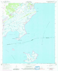
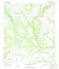
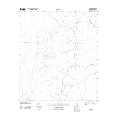
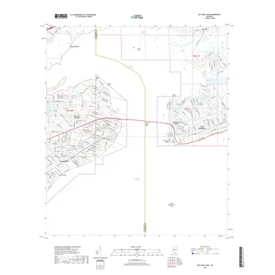
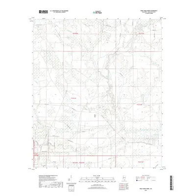
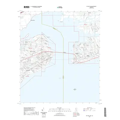
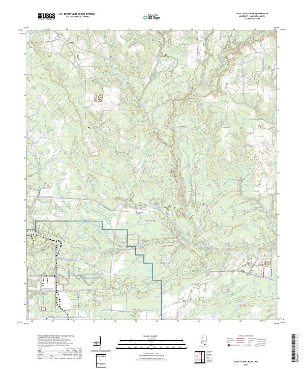
1996 Map of Dead Tiger Creek
USGS Topo · Published 1999About this map
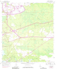
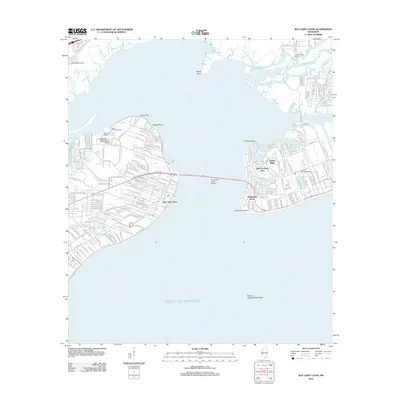
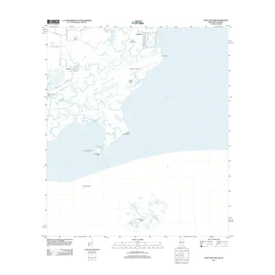
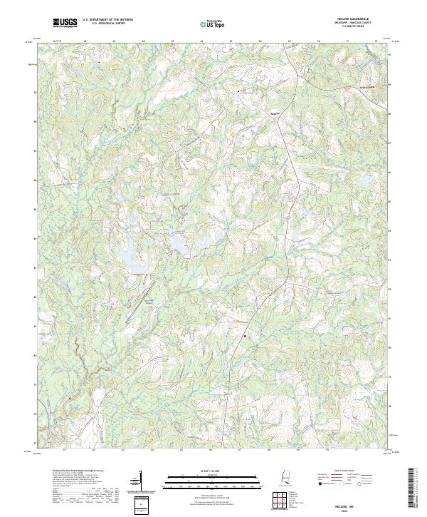
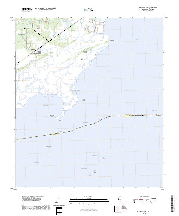
The John C Stennis Space Center (NASA) dominates the southwestern corner of this landscape, marking a significant mid-century transition from rural wetlands to a high-technology federal enclave. This 1996 update, based on 1957 topographic surveys, reveals the deep-rooted geography of coastal Mississippi through family-named landmarks like Sam Farve Bay and Josephs Bay. The terrain is defined by a dense network of slow-moving waters, including Dead Tiger Creek and Catahoula Creek, which feed into the intricate bay system.
Find a feature on this map
26 named features on this map. Tap any name to fly to it.
Don’t see what you’re looking for? This feature index may not catch every label — zoom into the map to look around manually.
Map Details
Editions of this 1996 Dead Tiger Creek Map
This is the sole edition of this map. No revisions or reprints were ever made.
Historical Maps of Flat Top Through Time
35 maps found
1893 Toulme
Hancock County, MS

1935 Grand Island Pass
Hancock County, MS
1955 Savannah
Hancock County, MS
1956 Grand Island Pass
Hancock County, MS
1957 Dead Tiger Creek
Hancock County, MS
1958 Logtown
Hancock County, MS
1982 Necaise
Hancock County, MS
1993 Logtown
Hancock County, MS
1994 Saint Joe Pass
Hancock County, MS
1996 Dead Tiger Creek
Hancock County, MS
2012 Bay Saint Louis
Hancock County, MS
2012 Dead Tiger Creek
Hancock County, MS
2012 Logtown
Hancock County, MS
2012 Necaise
Hancock County, MS
2012 Saint Joe Pass
Hancock County, MS
2015 Bay Saint Louis
Hancock County, MS
2015 Dead Tiger Creek
Hancock County, MS
2015 Logtown
Hancock County, MS
2015 Necaise
Hancock County, MS
2015 Saint Joe Pass
Hancock County, MS
2018 Bay Saint Louis
Hancock County, MS
2018 Dead Tiger Creek
Hancock County, MS
2018 Logtown
Hancock County, MS
2018 Necaise
Hancock County, MS
2018 Saint Joe Pass
Hancock County, MS
2020 Bay Saint Louis
Hancock County, MS
2020 Dead Tiger Creek
Hancock County, MS
2020 Necaise
Hancock County, MS
2021 Logtown
Hancock County, MS
2021 Saint Joe Pass
Hancock County, MS
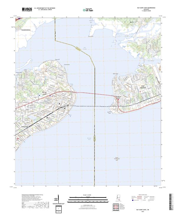
2024 Bay Saint Louis
Hancock County, MS
2024 Dead Tiger Creek
Hancock County, MS
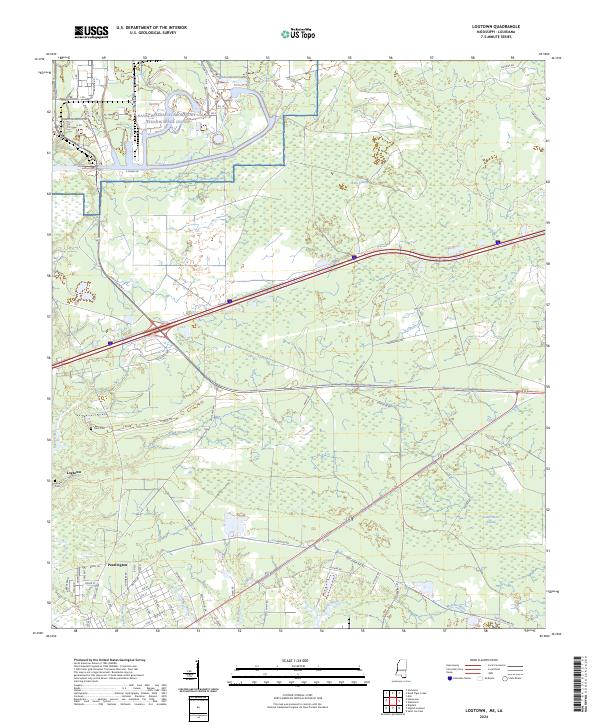
2024 Logtown
Hancock County, MS
2024 Necaise
Hancock County, MS
2024 Saint Joe Pass
Hancock County, MS