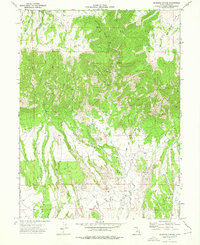
1972 Map of Deadman Canyon
USGS Topo · Published 1976About this map
Knight (Ideal) Mine sits at the heart of this resource-focused landscape in Carbon County, representing the industrial character of the region in the early 1970s. The terrain is defined by a network of drainage systems, including Deadman Creek, Bitter Creek, and Soldier Creek, which cut through the high plateaus of Emma Park and Whitmore Park. While much of the area is traversable only by a Jeep Trail or Pack Trail, the presence of a significant Pipeline and various prospects highlights the ongoing search for mineral and energy wealth. The transition from the high northern parks down through Deadman Canyon toward the Gravel Pits in the south illustrates the distinct verticality of the Utah landscape. This map captures a moment when traditional resource extraction and modern infrastructure like pipelines began to overlay the older trail networks and drainages such as Hoffman Creek and Alkali Creek.
Find a feature on this map
24 named features on this map. Tap any name to fly to it.
Don’t see what you’re looking for? This feature index may not catch every label — zoom into the map to look around manually.
Map Details
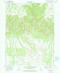
Editions of this 1972 Deadman Canyon Map
2 editions found
Other maps of this area

1886 · Price River
USGS Topo · 1:250,000

1896 · Price River
USGS Topo · 1:250,000

1914 · Castle Gate
USGS Topo · 1:62,500

1915 · Wellington
USGS Topo · 1:62,500

1916 · Castle Gate
USGS Topo · 1:62,500

1956 · Price
USGS Topo · 1:250,000

1960 · Price
USGS Topo · 1:250,000

1962 · Price
USGS Topo · 1:250,000
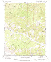
1969 · Minnie Maud Creek East
USGS Topo · 1:24,000
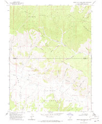
1969 · Minnie Maud Creek West
USGS Topo · 1:24,000