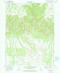
1972 Map of Deadman Canyon
USGS Topo · Published 1990About this map
Deadman Canyon and its network of steep drainages define this Carbon County landscape as it appeared during the early 1970s. The area is marked by a legacy of resource extraction, centered on the Knight Ideal Mine and several scattered prospects along Hoffman Creek and Straight Canyon. These mining features suggest a history of exploration into the coal-rich seams of the Book Cliffs region.
Find a feature on this map
30 named features on this map. Tap any name to fly to it.
Don’t see what you’re looking for? This feature index may not catch every label — zoom into the map to look around manually.
Map Details
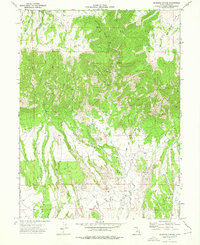
Editions of this 1972 Deadman Canyon Map
2 editions found
Other maps of this area

1886 · Price River
USGS Topo · 1:250,000

1896 · Price River
USGS Topo · 1:250,000

1914 · Castle Gate
USGS Topo · 1:62,500

1915 · Wellington
USGS Topo · 1:62,500

1916 · Castle Gate
USGS Topo · 1:62,500

1956 · Price
USGS Topo · 1:250,000

1960 · Price
USGS Topo · 1:250,000

1962 · Price
USGS Topo · 1:250,000
1969 · Minnie Maud Creek East
USGS Topo · 1:24,000
1969 · Minnie Maud Creek West
USGS Topo · 1:24,000