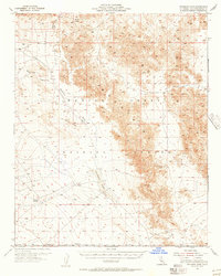
1955 Map of Deadman Lake
USGS Topo · Published 1956About this map
The Bullion Mountains dominate this Mojave Desert landscape, characterized by steep elevations and arid drainage systems. This mid-century survey captures a region defined by its isolation and military utility, as indicated by the presence of the Training Center and the Naval Reservation Boundary. Central to the map is Deadman Lake, a prominent dry lake bed or wash that serves as a focal point for the surrounding desert topography. Natural water sources are scarce, with Surprise Spring and an occasional Well providing the only reprieve from the sun-parched terrain.
Find a feature on this map
18 named features on this map. Tap any name to fly to it.
Don’t see what you’re looking for? This feature index may not catch every label — zoom into the map to look around manually.
Map Details
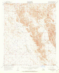
Editions of this 1955 Deadman Lake Map
2 editions found
Other maps of this area

1942 · Amboy
USGS Topo · 1:250,000

1943 · Amboy
USGS Topo · 1:250,000

1953 · San Bernardino
USGS Topo · 1:250,000

1954 · Needles
USGS Topo · 1:250,000

1954 · Hidalgo Mtn
USGS Topo · 1:24,000

1954 · Bagdad SW
USGS Topo · 1:24,000

1954 · Ludlow SE
USGS Topo · 1:24,000

1954 · Valley Mtn
USGS Topo · 1:24,000

1955 · Deadman Lake NW
USGS Topo · 1:24,000

1955 · Lavic SE
USGS Topo · 1:24,000