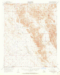
1955 Map of Deadman Lake
USGS Topo · Published 1960About this map
Deadman Lake sits as a central basin in this arid landscape of the Mojave, dominated by the jagged ridgelines of the Bullion Mountains. Surveyed in the mid-1950s, the map reveals a terrain transitioning into a significant military landscape, defined by the Naval Reservation Boundary and the expansive Training Center. Human presence is sparse, marked primarily by utilitarian infrastructure such as an airstrip, a Rifle Range, and a scattering of unnamed wells and prospects.
Find a feature on this map
17 named features on this map. Tap any name to fly to it.
Don’t see what you’re looking for? This feature index may not catch every label — zoom into the map to look around manually.
Map Details
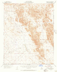
Editions of this 1955 Deadman Lake Map
2 editions found
Other maps of this area

1942 · Amboy
USGS Topo · 1:250,000

1943 · Amboy
USGS Topo · 1:250,000

1953 · San Bernardino
USGS Topo · 1:250,000

1954 · Needles
USGS Topo · 1:250,000

1954 · Hidalgo Mtn
USGS Topo · 1:24,000

1954 · Bagdad SW
USGS Topo · 1:24,000

1954 · Ludlow SE
USGS Topo · 1:24,000

1954 · Valley Mtn
USGS Topo · 1:24,000

1955 · Deadman Lake NW
USGS Topo · 1:24,000

1955 · Lavic SE
USGS Topo · 1:24,000