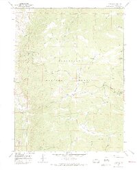
1967 Map of Deadman
USGS Topo · Published 1971About this map
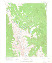
Roosevelt National Forest dominates this mountain landscape, defined by a network of drainage and resource management that shaped the Larimer County high country in the mid-1960s. The presence of the Deadman Lookout Tower atop a ridge near Deadman Hill indicates the strategic importance of fire observation during this era, while the Eaton Ditch Camp serves as a reminder of the region's complex water history. Human movement is etched into the terrain via the winding Deadman Road, which serves as a primary artery for numerous smaller routes labeled as Jeep Trail and Pack Trail. These paths trace the divides between significant watersheds like Panhandle Creek and Nunn Creek, reflecting an era of active forest service administration and early backcountry recreation before the modern expansion of wilderness designations. The intricate network of irrigation features, such as the Eaton Ditch and Columbine Ditch, further highlights the vital connection between these headwaters and downstream agricultural needs.
Find a feature on this map
25 named features on this map. Tap any name to fly to it.
Don’t see what you’re looking for? This feature index may not catch every label — zoom into the map to look around manually.
Map Details
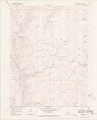
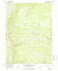
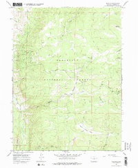
Editions of this 1967 Deadman Map
4 editions found
Other maps of this area

1916 · Home
USGS Topo · 1:125,000

1920 · Home
USGS Topo · 1:125,000

1954 · Greeley
USGS Topo · 1:250,000

1957 · Greeley
USGS Topo · 1:250,000

1958 · Greeley
USGS Topo · 1:250,000

1961 · Greeley
USGS Topo · 1:250,000

1962 · Boston Peak
USGS Topo · 1:24,000

1962 · Kinikinik
USGS Topo · 1:24,000
1962 · Rawah Lakes
USGS Topo · 1:24,000

1964 · Greeley
USGS Topo · 1:250,000