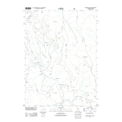
2012 Map of Deadman Point
USGS Topo · Published 2012About this map
King Bill Ranch sits at the heart of this terrain where the Indian Cr and Mill Cr drainages meet. The landscape is defined by a series of prominent divides, including Mill Creek Ridge, East Fork Ridge, and Thompson Ridge, which separate the various gulches and creeks feeding into the larger S Fork Indian Cr system. To the north, the elevation rises toward Spees Peak and the high ground of Bare Mountain.
Find a feature on this map
31 named features on this map. Tap any name to fly to it.
Don’t see what you’re looking for? This feature index may not catch every label — zoom into the map to look around manually.
Map Details
Editions of this 2012 Deadman Point Map
This is the sole edition of this map. No revisions or reprints were ever made.
Other maps of this area

1908 · Grants Pass
USGS Topo · 1:125,000

1914 · Seiad
USGS Topo · 1:125,000

1917 · Kerby
USGS Topo · 1:125,000

1918 · Kerby
USGS Topo · 1:125,000

1922 · Preston Peak
USGS Topo · 1:125,000

1922 · Seiad
USGS Topo · 1:125,000

1945 · Kerby
USGS Topo · 1:125,000

1948 · Weed
USGS Topo · 1:250,000

1950 · Weed
USGS Topo · 1:250,000

1954 · Cave Junction
USGS Topo · 1:62,500