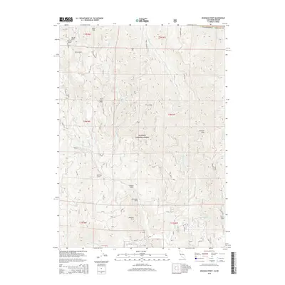
2015 Map of Deadman Point
USGS Topo · Published 2015About this map
Klamath National Forest dominates this section of the Siskiyou Mountains along the Oregon-California border. The landscape is defined by a series of steep drainages including Tom Gray Gulch, Silver Gulch, and Baker Gulch, which feed into major watercourses like Indian Cr and Thompson Cr. High points such as Bare Mtn and Spees Peak provide significant relief, while Mill Creek Ridge and Thompson Ridge dictate the flow of the local creek systems. For researchers of the region's geography, the map identifies specific landmarks like Deadman Point and Cedar Spring. This 2015 edition provides a clear look at the network of forest roads, including Kemper Loop and W Thompson Ridge Road, that navigate the complex terrain where Siskiyou County meets the Oregon state line.
Find a feature on this map
29 named features on this map. Tap any name to fly to it.
Don’t see what you’re looking for? This feature index may not catch every label — zoom into the map to look around manually.
Map Details
Editions of this 2015 Deadman Point Map
This is the sole edition of this map. No revisions or reprints were ever made.
Other maps of this area

1908 · Grants Pass
USGS Topo · 1:125,000

1914 · Seiad
USGS Topo · 1:125,000

1917 · Kerby
USGS Topo · 1:125,000

1918 · Kerby
USGS Topo · 1:125,000

1922 · Preston Peak
USGS Topo · 1:125,000

1922 · Seiad
USGS Topo · 1:125,000

1945 · Kerby
USGS Topo · 1:125,000

1948 · Weed
USGS Topo · 1:250,000

1950 · Weed
USGS Topo · 1:250,000

1954 · Cave Junction
USGS Topo · 1:62,500