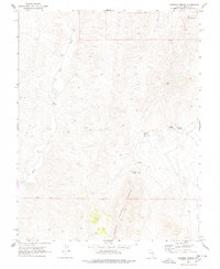
1970 Map of Deadman Spring
USGS Topo · Published 1978About this map
The North Pahroc Range dominates this 1970 landscape, creating a high-altitude divide between the White River to the west and the expansive Dry Lake Valley to the east. This region, documented during a period of intensive field checking in the late 1960s, is characterized by its vital water sources, often marked by specialized infrastructure like the Deadman Spring Water Tank. These scattered springs were essential waypoints for anyone traversing the network of primitive roads designated as Jeep Trail.
Find a feature on this map
13 named features on this map. Tap any name to fly to it.
Don’t see what you’re looking for? This feature index may not catch every label — zoom into the map to look around manually.
Map Details
Editions of this 1970 Deadman Spring Map
2 editions found
Other maps of this area

1885 · Pioche
USGS Topo · 1:250,000

1886 · Pioche
USGS Topo · 1:250,000

1954 · Caliente
USGS Topo · 1:250,000

1956 · Lund
USGS Topo · 1:250,000

1959 · Caliente
USGS Topo · 1:250,000

1960 · Lund
USGS Topo · 1:250,000
1970 · Deadman Spring
USGS Topo · 1:24,000
1970 · Deadman Spring SE
USGS Topo · 1:24,000

1970 · Wheatgrass Spring
USGS Topo · 1:24,000
1970 · Deadman Spring NE
USGS Topo · 1:24,000