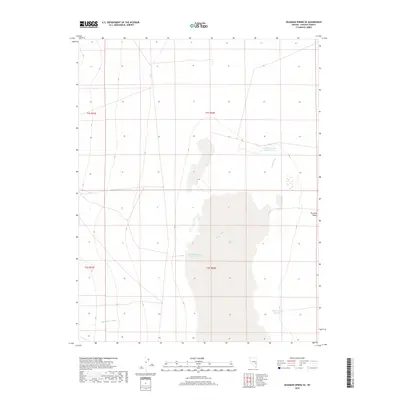
2018 Map of Deadman Spring SE
USGS Topo · Published 2018About this map
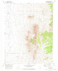
Dry Lake Valley defines the arid character of this Lincoln County landscape, where the ephemeral drainage of Coyote Wash and Wheatgrass Wash dictates the topography. In this high desert environment, water management is the primary human imprint on the land, evidenced by several numbered impoundments including Hirshi Reservoir Number Two and Bristol Reservoir Number Two. These features suggest a history of pastoral or agricultural adaptation in a region where surface water is scarce. The map also captures Black Canyon Reservoir at the base of the surrounding slopes, providing a clear record of how 21st-century infrastructure interacts with the natural basins of the Great Basin.
Find a feature on this map
10 named features on this map. Tap any name to fly to it.
Don’t see what you’re looking for? This feature index may not catch every label — zoom into the map to look around manually.
Map Details
Editions of this 2018 Deadman Spring SE Map
This is the sole edition of this map. No revisions or reprints were ever made.
Other maps of this area

1885 · Pioche
USGS Topo · 1:250,000

1886 · Pioche
USGS Topo · 1:250,000

1916 · Highland
USGS Topo · 1:62,500

1918 · Highland
USGS Topo · 1:62,500

1954 · Caliente
USGS Topo · 1:250,000

1959 · Caliente
USGS Topo · 1:250,000
1970 · The Bluffs
USGS Topo · 1:24,000
1970 · Deadman Spring
USGS Topo · 1:24,000
1970 · Deadman Spring SE
USGS Topo · 1:24,000
1970 · Ely Springs
USGS Topo · 1:24,000