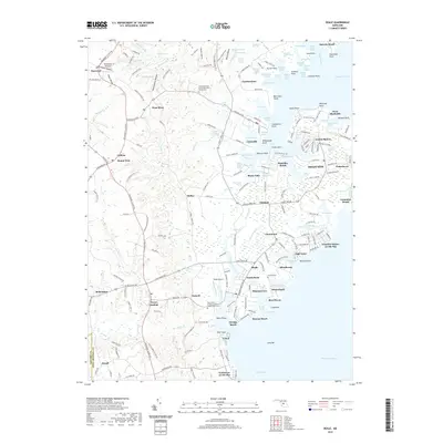
2019 Map of Deale
USGS Topo · Published 2019About this map
The western shore of the Chesapeake Bay in Anne Arundel County reveals a deeply indented coastline where tidal marshes and numerous points define the landscape. This 2019 survey captures the developed waterfront and rural interior of the West River region, featuring established maritime communities like Galesville and Shady Side. The map shows a clear distinction between the agricultural and residential uplands near Lothian and the dense concentration of bayside settlements such as Deale, Columbia Beach, and Franklin Manor-on-the-Bay.
Find a feature on this map
230 named features on this map. Tap any name to fly to it.
Don’t see what you’re looking for? This feature index may not catch every label — zoom into the map to look around manually.
Map Details
Editions of this 2019 Deale Map
This is the sole edition of this map. No revisions or reprints were ever made.
Other maps of this area

1892 · Prince Frederick
USGS Topo · 1:62,500

1892 · Owensville
USGS Topo · 1:62,500

1892 · Annapolis
USGS Topo · 1:62,500

1893 · Sharps Island
USGS Topo · 1:62,500

1895 · Prince Frederick
USGS Topo · 1:62,500

1895 · Owensville
USGS Topo · 1:62,500

1898 · Choptank
USGS Topo · 1:125,000

1899 · Patuxent
USGS Topo · 1:125,000

1901 · Prince Frederick
USGS Topo · 1:62,500

1904 · Annapolis
USGS Topo · 1:62,500