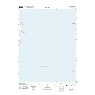
2011 Map of Deale OE E
USGS Topo · Published 2011About this map
Chesapeake Bay dominates this maritime survey, illustrating the coastal interface of Anne Arundel County in the early twenty-first century. The western shoreline is dotted with established residential communities including Idlewilde, Cedarhurst, and Columbia Beach, where local life is defined by the water. Further north, Felicity Cove and Snug Harbor provide sheltered inlets behind prominent features like Curtis Point and Horseshoe Point. This chart provides a clear view of the bay's breadth, reaching across the open water to Kent Point Manor on the eastern shore and identifying southern landmarks such as Poplar Island and Valliant. It is a vital record of the shoreline's configuration before recent decades of coastal change.
Find a feature on this map
13 named features on this map. Tap any name to fly to it.
Don’t see what you’re looking for? This feature index may not catch every label — zoom into the map to look around manually.
Map Details
Editions of this 2011 Deale OE E Map
This is the sole edition of this map. No revisions or reprints were ever made.
Other maps of this area

1892 · Prince Frederick
USGS Topo · 1:62,500

1892 · Owensville
USGS Topo · 1:62,500

1892 · Annapolis
USGS Topo · 1:62,500

1893 · Sharps Island
USGS Topo · 1:62,500

1895 · Prince Frederick
USGS Topo · 1:62,500

1895 · Owensville
USGS Topo · 1:62,500

1898 · Choptank
USGS Topo · 1:125,000

1899 · Patuxent
USGS Topo · 1:125,000

1901 · Prince Frederick
USGS Topo · 1:62,500

1904 · Annapolis
USGS Topo · 1:62,500