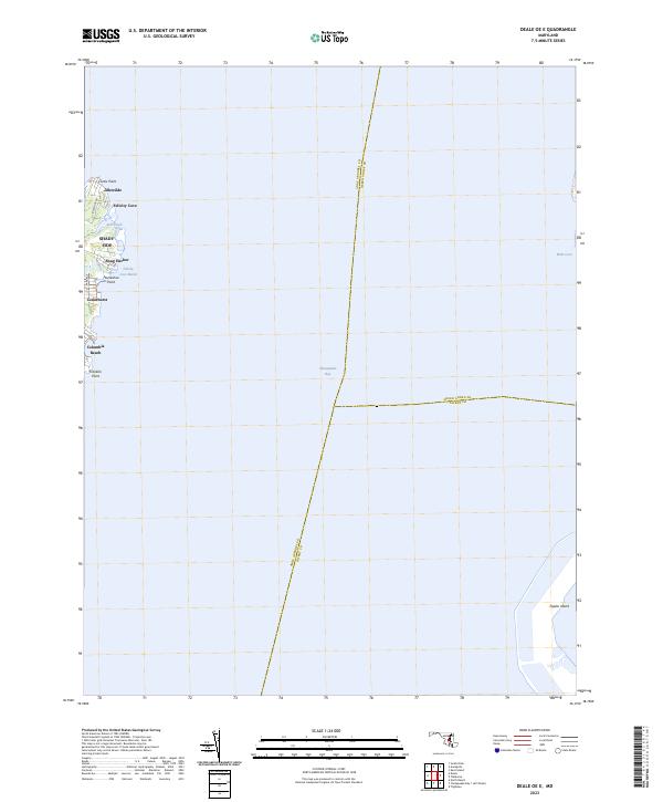
2023 Map of Deale OE E
USGS Topo · Published 2023About this map
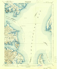
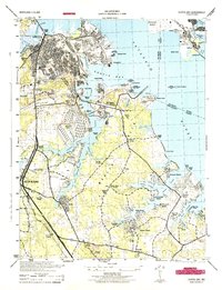
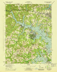
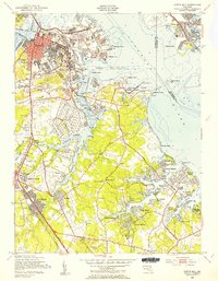
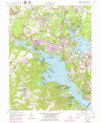
Shady Side and several surrounding waterfront settlements characterize the western shore of the Chesapeake Bay on this modern survey. This coastal reach in Anne Arundel County is defined by a series of residential landings and inlets, including Snug Harbor, Idlewilde, and Cedarhurst. The landscape transitions from the developed residential streets of Columbia Beach and Shady Side into protected natural areas like the Felicity Cove Marsh and the terminal landform at Franklin Point.
Find a feature on this map
19 named features on this map. Tap any name to fly to it.
Don’t see what you’re looking for? This feature index may not catch every label — zoom into the map to look around manually.
Map Details
Editions of this 2023 Deale OE E Map
This is the sole edition of this map. No revisions or reprints were ever made.
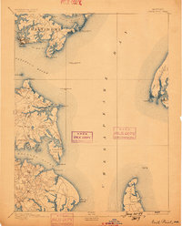
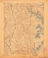
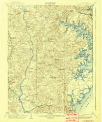
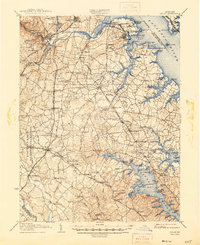
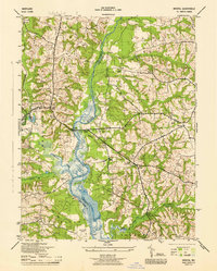
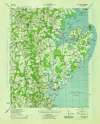
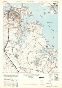
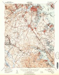
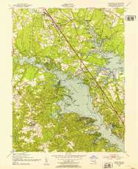
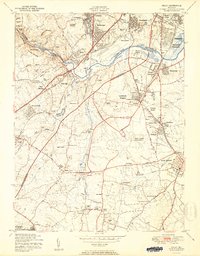
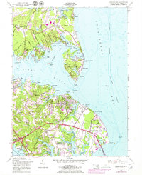
Historical Maps of Felicity Cove Through Time
37 maps found

1892 Owensville
Anne Arundel County, MD
1893 North Point
Anne Arundel County, MD
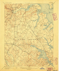
1894 Relay
Anne Arundel County, MD
1895 Owensville
Anne Arundel County, MD
1904 North Point
Anne Arundel County, MD
1905 Owensville
Anne Arundel County, MD
1907 Relay
Anne Arundel County, MD

1943 North Point
Anne Arundel County, MD
1944 Bristol
Anne Arundel County, MD
1944 Curtis Bay
Anne Arundel County, MD
1944 Davidsonville
Anne Arundel County, MD

1944 Gibson Island
Anne Arundel County, MD
1944 Relay
Anne Arundel County, MD
1944 Round Bay
Anne Arundel County, MD
1944 South River
Anne Arundel County, MD
1944 West River
Anne Arundel County, MD
1946 Curtis Bay
Anne Arundel County, MD

1947 North Point
Anne Arundel County, MD
1947 Relay
Anne Arundel County, MD
1949 Curtis Bay
Anne Arundel County, MD
1949 Round Bay
Anne Arundel County, MD
1950 Relay
Anne Arundel County, MD
1954 Gibson Island
Anne Arundel County, MD
1956 Round Bay
Anne Arundel County, MD
1957 Bristol
Anne Arundel County, MD
1957 Curtis Bay
Anne Arundel County, MD
1957 Relay
Anne Arundel County, MD
1957 South River
Anne Arundel County, MD
1969 Curtis Bay
Anne Arundel County, MD

1981 Relay
Anne Arundel County, MD
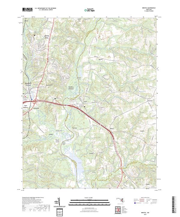
2023 Bristol
Anne Arundel County, MD
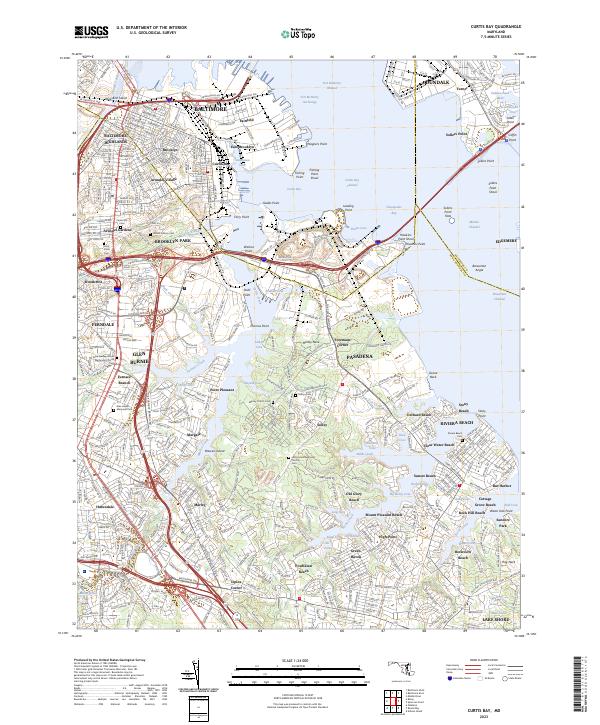
2023 Curtis Bay
Anne Arundel County, MD
2023 Deale OE E
Anne Arundel County, MD
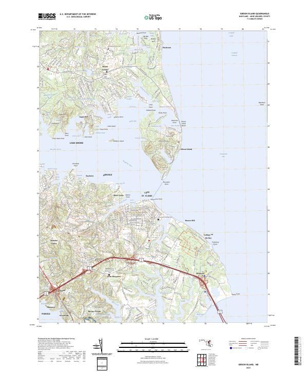
2023 Gibson Island
Anne Arundel County, MD
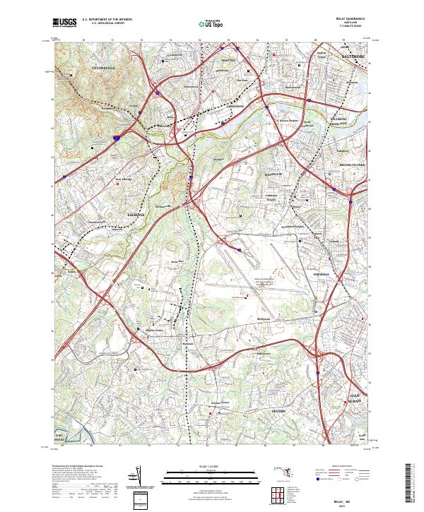
2023 Relay
Anne Arundel County, MD
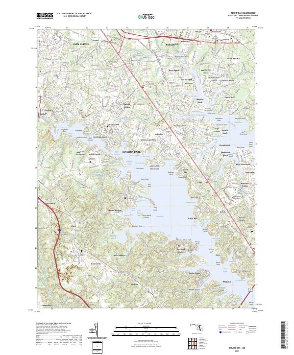
2023 Round Bay
Anne Arundel County, MD
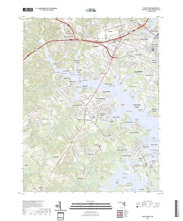
2023 South River
Anne Arundel County, MD