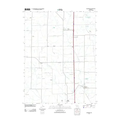
2012 Map of Dearborn
USGS Topo · Published 2012About this map
Bee Creek and its tributaries, such as Bleazard Branch and Jordan Branch, carve a network of drainage through this portion of Platte County. The map captures the agricultural and transportation layout of northwestern Missouri in the early 21st century, centered on the community of Dearborn. To the west and north, several smaller established points such as Wallace, Halleck, and Taos punctuate the grid of rural roads. Evidence of long-standing family and community ties is visible in the unusually high density of burial sites scattered across the township, including Antioch Cemetery, Union Cemetery, and Judy Cemetery.
Find a feature on this map
64 named features on this map. Tap any name to fly to it.
Don’t see what you’re looking for? This feature index may not catch every label — zoom into the map to look around manually.
Map Details
Editions of this 2012 Dearborn Map
This is the sole edition of this map. No revisions or reprints were ever made.
Other maps of this area

1890 · Kansas City
USGS Topo · 1:125,000

1894 · Kansas City
USGS Topo · 1:125,000

1910 · Leavenworth
USGS Topo · 1:62,500

1914 · Smithville
USGS Topo · 1:62,500

1925 · Gower
USGS Topo · 1:62,500

1927 · Dearborn
USGS Topo · 1:62,500

1948 · Leavenworth
USGS Topo · 1:62,500

1950 · Kansas City
USGS Topo · 1:250,000
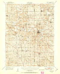
1950 · Smithville
USGS Topo · 1:62,500

1951 · Edgerton
USGS Topo · 1:24,000