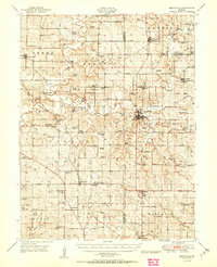
1950 Map of Smithville
USGS Topo · Published 1950About this map
The Platte River meanders through this portion of Missouri, shaping the development of rural communities across several townships before the expansion of the Kansas City metropolitan area. At the junction of the Platte and Clinton county lines, Smithville serves as a central hub, while smaller rail-oriented settlements like Edgerton Junction and Sharps Station illustrate the importance of early 20th-century transportation networks. The landscape is densely marked with the hallmarks of a settled agrarian society, featuring numerous family-named landmarks and rural institutions. Genealogists can find a high density of burial sites including the Masonic Cemetery near Camden Point and the McComas Cemetery, alongside many one-room schoolhouses such as South Gale School and Lone Star School. Notable river crossings are preserved here, including a historic Covered Bridge and the Skinner Bridge, which linked these farming districts before modern highway developments changed the local character.
Find a feature on this map
108 named features on this map. Tap any name to fly to it.
Don’t see what you’re looking for? This feature index may not catch every label — zoom into the map to look around manually.
Map Details
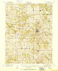
Editions of this 1950 Smithville Map
2 editions found
Other maps of this area

1890 · Kansas City
USGS Topo · 1:125,000

1894 · Kansas City
USGS Topo · 1:125,000

1894 · Independence
USGS Topo · 1:125,000

1910 · Leavenworth
USGS Topo · 1:62,500

1914 · Smithville
USGS Topo · 1:62,500

1925 · Gower
USGS Topo · 1:62,500

1925 · Plattsburg
USGS Topo · 1:62,500

1927 · Dearborn
USGS Topo · 1:62,500

1934 · Bonner Springs
USGS Topo · 1:48,000

1934 · Wolcott
USGS Topo · 1:24,000