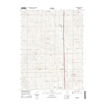
2014 Map of Dearborn
USGS Topo · Published 2014About this map
Dearborn and the surrounding rural townships of northwest Missouri are documented in this 2014 survey, highlighting the persistent agrarian layout across the border of Buchanan Co and Platte Co. The landscape is characterized by a dense concentration of family and community burial grounds, such as Antioch Cemetery and Collier Cemetery, which provide essential touchpoints for genealogical research in this region. Settled along the drainage of Bee Cr and Bleazard Br, the small communities of Faucett, Wallace, and New Market are linked by a grid of named country roads that follow the high ground between creek valleys. While modern infrastructure like Interstate 29 (I-29) now bisects the area, the map still records historic place names like Lone Star and Halleck, alongside water features like Trickey Lake and the Dearborn Reservoir.
Find a feature on this map
67 named features on this map. Tap any name to fly to it.
Don’t see what you’re looking for? This feature index may not catch every label — zoom into the map to look around manually.
Map Details
Editions of this 2014 Dearborn Map
This is the sole edition of this map. No revisions or reprints were ever made.
Other maps of this area

1890 · Kansas City
USGS Topo · 1:125,000

1894 · Kansas City
USGS Topo · 1:125,000

1910 · Leavenworth
USGS Topo · 1:62,500

1914 · Smithville
USGS Topo · 1:62,500

1925 · Gower
USGS Topo · 1:62,500

1927 · Dearborn
USGS Topo · 1:62,500

1948 · Leavenworth
USGS Topo · 1:62,500

1950 · Kansas City
USGS Topo · 1:250,000
1950 · Smithville
USGS Topo · 1:62,500

1951 · Edgerton
USGS Topo · 1:24,000