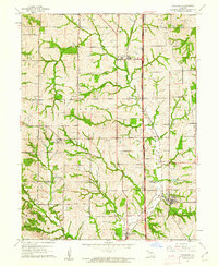
1961 Map of Dearborn
USGS Topo · Published 1962About this map
Dearborn sits at the southern edge of this Missouri landscape, which straddles the boundary between Buchanan Co and Platte Co. This early 1960s perspective captures a rural environment defined by the Chicago Great Western Railroad and its parallel grade, which serves as a major north-south transit corridor through the region. Small agricultural hubs like Faucett and New Market anchor the surrounding townships of Crawford and Jackson. The map reveals a high density of small family and community burial grounds, such as Union Cem, Turner Cem, and Richardson Cem, reflecting generations of rural settlement. Water features like Bee Creek and the Dearborn Reservoir provide the primary drainage and water storage for the area, while a small Landing Field near the center of the sheet indicates the early integration of private aviation into the local topography.
Find a feature on this map
33 named features on this map. Tap any name to fly to it.
Don’t see what you’re looking for? This feature index may not catch every label — zoom into the map to look around manually.
Map Details
Editions of this 1961 Dearborn Map
2 editions found
Other maps of this area

1890 · Kansas City
USGS Topo · 1:125,000

1894 · Kansas City
USGS Topo · 1:125,000

1910 · Leavenworth
USGS Topo · 1:62,500

1914 · Smithville
USGS Topo · 1:62,500

1925 · Gower
USGS Topo · 1:62,500

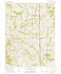
1927 · Dearborn
USGS Topo · 1:62,500

1948 · Leavenworth
USGS Topo · 1:62,500

1950 · Kansas City
USGS Topo · 1:250,000
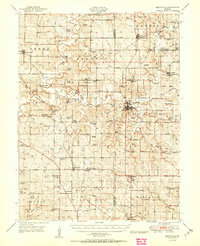
1950 · Smithville
USGS Topo · 1:62,500

1951 · Edgerton
USGS Topo · 1:24,000