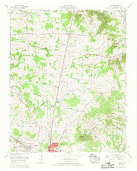
1966 Map of Deason
USGS Topo · Published 1969About this map
Shelbyville expands northward into the surrounding hills in this mid-1960s survey, marked by the emergence of Fairlane Estates near the City Boundary. The landscape transitions from the developed streets of the city to a rural patchwork of family farms and small communities like Deason and Vannatta. Genealogists will find a wealth of local landmarks, including numerous family burial grounds such as the Houston Whitworth Cem and McCustion Cem, alongside the Erwin Slave Cem, which provides a vital link to the area's social history.
Find a feature on this map
81 named features on this map. Tap any name to fly to it.
Don’t see what you’re looking for? This feature index may not catch every label — zoom into the map to look around manually.
Map Details
Editions of this 1966 Deason Map
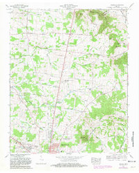
2 editions found
Other maps of this area

1936 · Webbs Jungle
USGS Topo · 1:24,000

1936 · Shelbyville
USGS Topo · 1:24,000

1936 · Rover
USGS Topo · 1:24,000

1936 · Deason
USGS Topo · 1:24,000

1936 · Wartrace
USGS Topo · 1:24,000

1936 · Unionville
USGS Topo · 1:24,000

1936 · Bedford
USGS Topo · 1:24,000

1936 · Normandy
USGS Topo · 1:24,000

1936 · Fosterville
USGS Topo · 1:24,000

1944 · Shelbyville
USGS Topo · 1:100,000