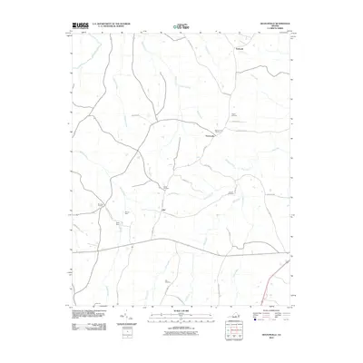
2010 Map of Deatonville
USGS Topo · Published 2010About this map
Deatonville and the crossroads of Rodophil anchor this part of Amelia County, where the landscape is defined by the winding course of the Appomattox River and its numerous tributaries. The area reflects a deeply rooted rural settlement pattern, evidenced by the high density of family and community burial grounds such as Pilgrim Cemetery, Star Hope Cemetery, and Sandy Creek Cemetery.
Find a feature on this map
40 named features on this map. Tap any name to fly to it.
Don’t see what you’re looking for? This feature index may not catch every label — zoom into the map to look around manually.
Map Details
Editions of this 2010 Deatonville Map
This is the sole edition of this map. No revisions or reprints were ever made.
Other maps of this area

1891 · Farmville
USGS Topo · 1:125,000

1893 · Farmville
USGS Topo · 1:125,000

1947 · Roanoke
USGS Topo · 1:250,000

1958 · Farmville
USGS Topo · 1:62,500

1958 · Jetersville
USGS Topo · 1:62,500

1958 · Crewe
USGS Topo · 1:62,500

1958 · Keysville
USGS Topo · 1:62,500

1959 · Roanoke
USGS Topo · 1:250,000

1963 · Roanoke
USGS Topo · 1:250,000
1968 · Ballsville
USGS Topo · 1:24,000