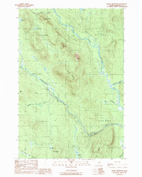
1989 Map of Deaxsey Mountain
USGS Topo · Published 1989About this map
East Branch Penobscot River winds through this township-grid landscape in Penobscot County, where the unorganized territories of T 4 R 8 Wels and T 3 R 7 Wels meet. The terrain is defined by a series of prominent peaks and the waterways that carve between them, notably Wassataquoik Stream and the Seboeis River. Significant summits like Lunksoos Mtn, Deasey Mountain, and Wassataquoik Mtn dominate the topography, while smaller water bodies such as Big Robar Pond and Lunksoos Lake are scattered across the northern reaches. The presence of the Monument Line crossing the center of the sheet highlights the systematic surveying of these timberlands. This 1989 provisional edition captures the drainage patterns and relief of the Maine woods before the further development of logging infrastructure or recreational designations in the late 20th century.
Find a feature on this map
25 named features on this map. Tap any name to fly to it.
Don’t see what you’re looking for? This feature index may not catch every label — zoom into the map to look around manually.
Map Details
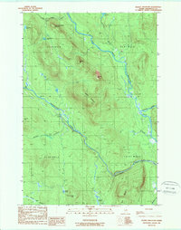
Editions of this 1989 Deaxsey Mountain Map
2 editions found
Other maps of this area

1927 · Katahdin
USGS Topo · 1:48,000

1930 · Katahdin
USGS Topo · 1:62,500

1949 · Katahdin
USGS Topo · 1:62,500

1953 · Stacyville
USGS Topo · 1:62,500

1954 · Shin Pond
USGS Topo · 1:62,500

1954 · Presque Isle
USGS Topo · 1:250,000

1954 · Millinocket
USGS Topo · 1:250,000

1955 · Traveler Mountain
USGS Topo · 1:62,500

1958 · Presque Isle
USGS Topo · 1:250,000

1958 · Millinocket
USGS Topo · 1:250,000