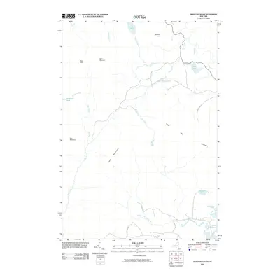
2010 Map of Debar Mountain
USGS Topo · Published 2010About this map
Adirondack Park dominates this terrain, where high peaks and mountain ponds dictate the movement of water and travelers alike. The prominent ridge of Debar Mountain rises near Debar Pond, part of a complex topography that includes the Sable Mountains and Loon Lake Mountains. This 2010 survey illustrates a landscape of significant elevation changes, from Black Peak down to the winding course of the North Branch Saranac River in the south.
Find a feature on this map
25 named features on this map. Tap any name to fly to it.
Don’t see what you’re looking for? This feature index may not catch every label — zoom into the map to look around manually.
Map Details
Editions of this 2010 Debar Mountain Map
This is the sole edition of this map. No revisions or reprints were ever made.
Other maps of this area

1902 · Saranac
USGS Topo · 1:62,500

1904 · Saranac
USGS Topo · 1:62,500

1905 · Saint Regis
USGS Topo · 1:62,500

1906 · Loon Lake
USGS Topo · 1:62,500

1908 · Loon Lake
USGS Topo · 1:62,500

1921 · Santa Clara
USGS Topo · 1:62,500

1923 · Santa Clara
USGS Topo · 1:62,500

1948 · Ogdensburg
USGS Topo · 1:250,000

1951 · Ogdensburg
USGS Topo · 1:250,000

1953 · Ogdensburg
USGS Topo · 1:250,000