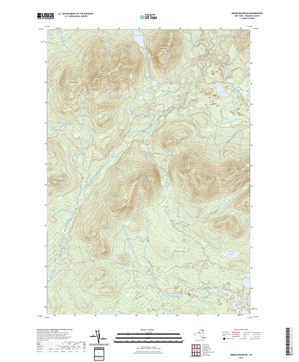
2023 Map of Debar Mountain
USGS Topo · Published 2023About this map
Debar Mountain and the surrounding Adirondack Park Preserve dominate this section of Franklin County, where the high peaks of the Loon Lake Mountains and Sable Mountains define the drainage patterns of the North Branch Saranac River. The landscape is a network of water and wilderness trails, including the Debar Mountain Trl and the Skiff Pond Trl, reflecting the area's long history of conservation and recreation. In the southern reaches, the corridor along Old Military Rd provides a look at early transport routes through the woods. Near the southeastern corner, the interconnected waters of Kushaqua Narrows and Rainbow Narrows suggest the historic importance of these waterways for navigation and seasonal camps. This map serves as a detailed guide to the summits, brooks, and ponds that have long drawn hunters and hikers to this protected interior.
Find a feature on this map
33 named features on this map. Tap any name to fly to it.
Don’t see what you’re looking for? This feature index may not catch every label — zoom into the map to look around manually.
Map Details
Editions of this 2023 Debar Mountain Map
This is the sole edition of this map. No revisions or reprints were ever made.
Other maps of this area

1902 · Saranac
USGS Topo · 1:62,500

1904 · Saranac
USGS Topo · 1:62,500

1905 · Saint Regis
USGS Topo · 1:62,500

1906 · Loon Lake
USGS Topo · 1:62,500

1908 · Loon Lake
USGS Topo · 1:62,500

1921 · Santa Clara
USGS Topo · 1:62,500

1923 · Santa Clara
USGS Topo · 1:62,500

1948 · Ogdensburg
USGS Topo · 1:250,000

1951 · Ogdensburg
USGS Topo · 1:250,000

1953 · Ogdensburg
USGS Topo · 1:250,000