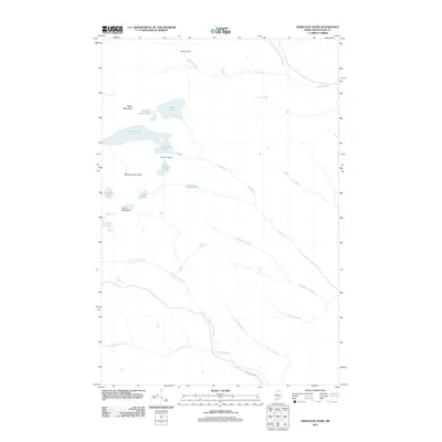
2011 Map of Deboullie Pond
USGS Topo · Published 2011About this map
Michauds Mill sits in the northern reaches of this Aroostook County landscape, a reminder of the historical industrial presence in the Maine woods. This 2011 survey by the U.S. Geological Survey documents a network of interconnected water bodies and peaks, including Deboullie Pond and Black Mountain. The area is defined by its deep woods character, with landmarks like Red River Camps and Island Pond indicating a legacy of seasonal habitation and timber management.
Find a feature on this map
24 named features on this map. Tap any name to fly to it.
Don’t see what you’re looking for? This feature index may not catch every label — zoom into the map to look around manually.
Map Details
Editions of this 2011 Deboullie Pond Map
This is the sole edition of this map. No revisions or reprints were ever made.
Other maps of this area
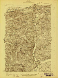
1928 · Eagle Lake
USGS Topo · 1:48,000
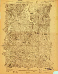
1928 · Winterville
USGS Topo · 1:48,000
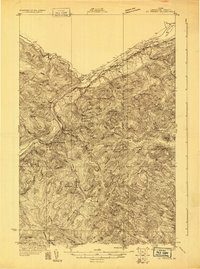
1930 · St Francis
USGS Topo · 1:48,000
1931 · Fish River Lake
USGS Topo · 1:48,000
1931 · Eagle Lake
USGS Topo · 1:62,500
1931 · Winterville
USGS Topo · 1:62,500
1933 · St Francis
USGS Topo · 1:62,500
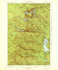
1935 · Fish River Lake
USGS Topo · 1:62,500
1954 · Presque Isle
USGS Topo · 1:250,000
1958 · Presque Isle
USGS Topo · 1:250,000