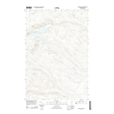
2014 Map of Deboullie Pond
USGS Topo · Published 2014About this map
Deboullie Pond and the surrounding backcountry of northern Maine are defined by a network of isolated glacial lakes and prominent peaks in the 2010s. The landscape is dominated by Black Mtn and Whitman Mtn, overlooking a series of interconnected water bodies including Pushineer Pond, Fish Pond, and Island Pond. Unlike more developed regions, this area is characterized by timber management and wilderness access, with the Chapman Tote Rd and Jacque Ouellet Rd serving as the primary arteries through the dense terrain.
Find a feature on this map
25 named features on this map. Tap any name to fly to it.
Don’t see what you’re looking for? This feature index may not catch every label — zoom into the map to look around manually.
Map Details
Editions of this 2014 Deboullie Pond Map
This is the sole edition of this map. No revisions or reprints were ever made.
Other maps of this area

1928 · Eagle Lake
USGS Topo · 1:48,000

1928 · Winterville
USGS Topo · 1:48,000

1930 · St Francis
USGS Topo · 1:48,000

1931 · Fish River Lake
USGS Topo · 1:48,000

1931 · Eagle Lake
USGS Topo · 1:62,500

1931 · Winterville
USGS Topo · 1:62,500

1933 · St Francis
USGS Topo · 1:62,500

1935 · Fish River Lake
USGS Topo · 1:62,500

1954 · Presque Isle
USGS Topo · 1:250,000

1958 · Presque Isle
USGS Topo · 1:250,000