Loading...
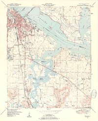
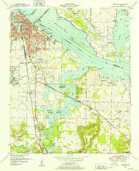
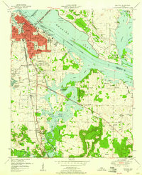
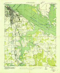
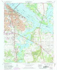
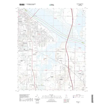
Loading map...1950 Map of Decatur
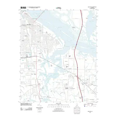
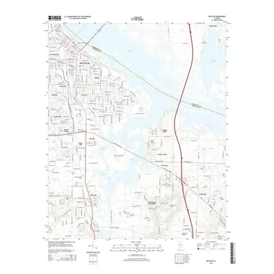
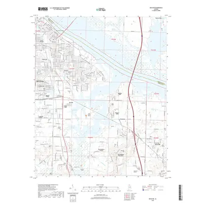
USGS Topo · Published 1952About this map
Decatur sits as a vital river port and rail hub during the mid-century, where the Louisville And Nashville Southern and Louisville And Nashville lines converge at the Tennessee River. The landscape is dominated by the sprawling Wheeler National Wildlife Refuge, which encompasses the Harris Sweetwater Dewatering Area and complex backwaters of Flint Creek. Transportation patterns are clearly defined by the Keller Memorial Bridge crossing into Limestone Co and the southern reach of U.S. Highway 31.
Find a feature on this map
71 named features on this map. Tap any name to fly to it.
Don’t see what you’re looking for? This feature index may not catch every label — zoom into the map to look around manually.
Map Details
Date Portrayed1950
Date Published1952
PublisherU.S. Geological Survey
Map TypeTopographic
Scale1:24,000
Physical Dimensions22.08 x 27.22 inches
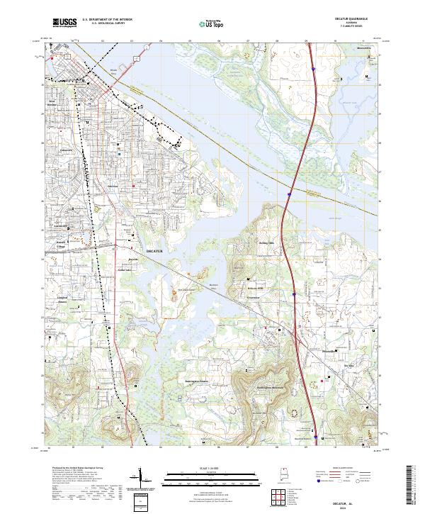
Editions of this 1950 Decatur Map
3 editions found
Historical Maps of Decatur Through Time
9 maps found

Featured Locations
Source Details
SourceU.S. Geological Survey
CopyrightPublic Domain