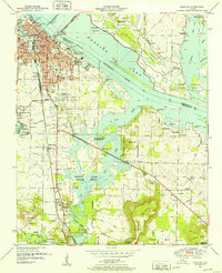
1950 Map of Decatur
USGS Topo · Published 1952About this map
Decatur serves as the focal point for this 1950s study, revealing the city's complex relationship with the Tennessee River and the Wheeler National Wildlife Refuge. The map details the urban grid of the county seat, including the Courthouse, General Hospital, and the Filtration bed essential for municipal growth. Connectivity across the water is defined by the Keller Memorial Bridge, linking the city to the Dewatering Area and the Limestone and Morgan County line.
Find a feature on this map
68 named features on this map. Tap any name to fly to it.
Don’t see what you’re looking for? This feature index may not catch every label — zoom into the map to look around manually.
Map Details
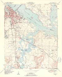
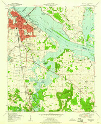
Editions of this 1950 Decatur Map
3 editions found
Other maps of this area

1888 · Cullman
USGS Topo · 1:125,000

1888 · Huntsville
USGS Topo · 1:125,000

1892 · Cullman
USGS Topo · 1:125,000

1892 · Huntsville
USGS Topo · 1:125,000

1935 · Danville
USGS Topo · 1:48,000

1936 · Hartselle
USGS Topo · 1:24,000

1936 · Decatur
USGS Topo · 1:24,000

1936 · Stewart Cross Roads
USGS Topo · 1:24,000

1936 · Trinity
USGS Topo · 1:24,000

1936 · Somerville
USGS Topo · 1:24,000