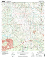
1997 Map of Dedeaux
USGS Topo · Published 2000About this map
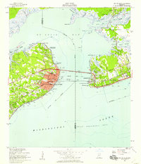
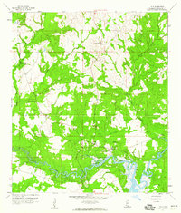
The winding course of the Wolf River and its southern drainage into St Louis Bay define this coastal Mississippi landscape along the Hancock Co Harrison Co border. While the terrain is shaped by waterways like Rotten Bayou and Bayou De Lisle, the settlement pattern reflects a deeply rooted community structure centered on rural parishes and family-named landmarks. The map documents numerous spiritual and educational hubs, including St Anne Ch, St Williams Ch, and St Stephens Sch, which served the residents of Dedeaux (Vidalia) and the coastal areas near De Lisle.
Find a feature on this map
22 named features on this map. Tap any name to fly to it.
Don’t see what you’re looking for? This feature index may not catch every label — zoom into the map to look around manually.
Map Details
Editions of this 1997 Dedeaux Map
This is the sole edition of this map. No revisions or reprints were ever made.
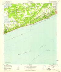
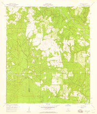
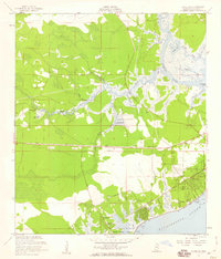
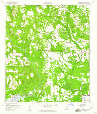
Other maps of this area

1953 · Mobile
USGS Topo · 1:250,000
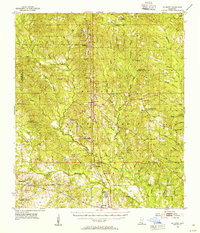
1954 · McHenry
USGS Topo · 1:62,500
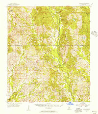
1955 · Savannah
USGS Topo · 1:62,500
1955 · Pass Christian
USGS Topo · 1:24,000
1956 · Bay St. Louis
USGS Topo · 1:24,000
1956 · Vidalia
USGS Topo · 1:24,000
1956 · Waveland
USGS Topo · 1:24,000
1956 · Gulfport NW
USGS Topo · 1:24,000

1957 · Mobile
USGS Topo · 1:250,000
1959 · Kiln
USGS Topo · 1:24,000