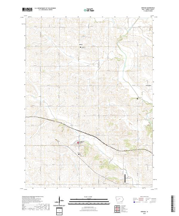
2022 Map of Dedham
USGS Topo · Published 2022About this map
Dedham and the surrounding farmland of Carroll County are defined by a grid of rural roads and the winding path of the Middle Raccoon River. This survey illustrates a landscape of established agricultural tradition, where small settlements like Willey and Carrollton anchor the community. The topography is shaped by several drainages, including Brushy Cr and Dedham Cr, which carve gentle valleys through the prairie. Genealogists will find a concentration of local history at Saint Mary's Catholic Cem and Saint Josephs Cem, alongside the McCurdy Cem to the east. The presence of Stangl Airport south of Dedham provides a modern navigational landmark amidst the otherwise traditional townships. The map meticulously records the intersection of local routes such as Co Rd E57 and Co Hwy N33, which connect these small hubs to the broader Iowa countryside.
Find a feature on this map
54 named features on this map. Tap any name to fly to it.
Don’t see what you’re looking for? This feature index may not catch every label — zoom into the map to look around manually.
Map Details
Editions of this 2022 Dedham Map
This is the sole edition of this map. No revisions or reprints were ever made.
Other maps of this area

1954 · Omaha
USGS Topo · 1:250,000

1954 · Fort Dodge
USGS Topo · 1:250,000

1957 · Omaha
USGS Topo · 1:250,000

1957 · Fort Dodge
USGS Topo · 1:250,000

1958 · Omaha
USGS Topo · 1:250,000

1958 · Fort Dodge
USGS Topo · 1:250,000

1971 · Coon Rapids South
USGS Topo · 1:24,000

1971 · Viola Center
USGS Topo · 1:24,000

1971 · Dedham
USGS Topo · 1:24,000

1971 · Coon Rapids North
USGS Topo · 1:24,000