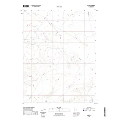
2020 Map of Dee Pass
USGS Topo · Published 2020About this map
Dee Pass sits at the heart of this Grand County landscape, where the high desert terrain is defined by complex drainage systems and isolated ridges. The map documents a network of seasonal watercourses, including the prominent Salt Wash and Tenmile Wash, which carve through the arid expanse of the Mancos Desert W. These natural features dictated the early movement through the region, evidenced by the modern placement of Ruby Ranch Rd and the Levi / Upper Tenmile route.
Find a feature on this map
16 named features on this map. Tap any name to fly to it.
Don’t see what you’re looking for? This feature index may not catch every label — zoom into the map to look around manually.
Map Details
Editions of this 2020 Dee Pass Map
This is the sole edition of this map. No revisions or reprints were ever made.
Other maps of this area

1885 · San Rafael
USGS Topo · 1:250,000

1885 · La Sal
USGS Topo · 1:250,000

1951 · The Knoll
USGS Topo · 1:62,500

1952 · Moab 3 NE
USGS Topo · 1:24,000

1952 · Tidwell 4 NE
USGS Topo · 1:24,000

1952 · Moab 3 NW
USGS Topo · 1:24,000

1954 · Tidwell 1 NE
USGS Topo · 1:24,000

1954 · Tidwell 1 SE
USGS Topo · 1:24,000

1954 · Green River
USGS Topo · 1:62,500

1956 · Salina
USGS Topo · 1:250,000