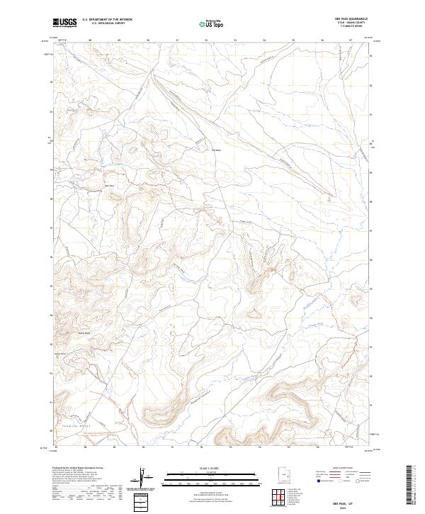
2023 Map of Dee Pass
USGS Topo · Published 2023About this map
Agate Hills rise prominently across this desert landscape in Grand County, Utah, where a network of remote trails and primitive roads crisscrosses the arid terrain. The map emphasizes the intricate drainage patterns of the Mancos Desert W, defined by the erosive reach of Salt Wash and the winding course of Tenmile Wash. This contemporary survey highlights the area's importance for backcountry transit, noting specific routes like Ruby Ranch Rd and the Duma Mine Cutoff Trl that navigate the varied elevations near Duma Point and Tenmile Point. The presence of the White Wash Area and various loops such as the Enduro Loop Trl indicates a geography heavily utilized for modern recreation and mineral exploration. Deep canyons, including Tenmile Canyon, contrast with the broader desert flats, providing a clear view of the geological transitions throughout this high-altitude desert region.
Find a feature on this map
23 named features on this map. Tap any name to fly to it.
Don’t see what you’re looking for? This feature index may not catch every label — zoom into the map to look around manually.
Map Details
Editions of this 2023 Dee Pass Map
This is the sole edition of this map. No revisions or reprints were ever made.
Other maps of this area

1885 · San Rafael
USGS Topo · 1:250,000

1885 · La Sal
USGS Topo · 1:250,000

1951 · The Knoll
USGS Topo · 1:62,500

1952 · Moab 3 NE
USGS Topo · 1:24,000

1952 · Tidwell 4 NE
USGS Topo · 1:24,000

1952 · Moab 3 NW
USGS Topo · 1:24,000

1954 · Tidwell 1 NE
USGS Topo · 1:24,000

1954 · Tidwell 1 SE
USGS Topo · 1:24,000

1954 · Green River
USGS Topo · 1:62,500

1956 · Salina
USGS Topo · 1:250,000